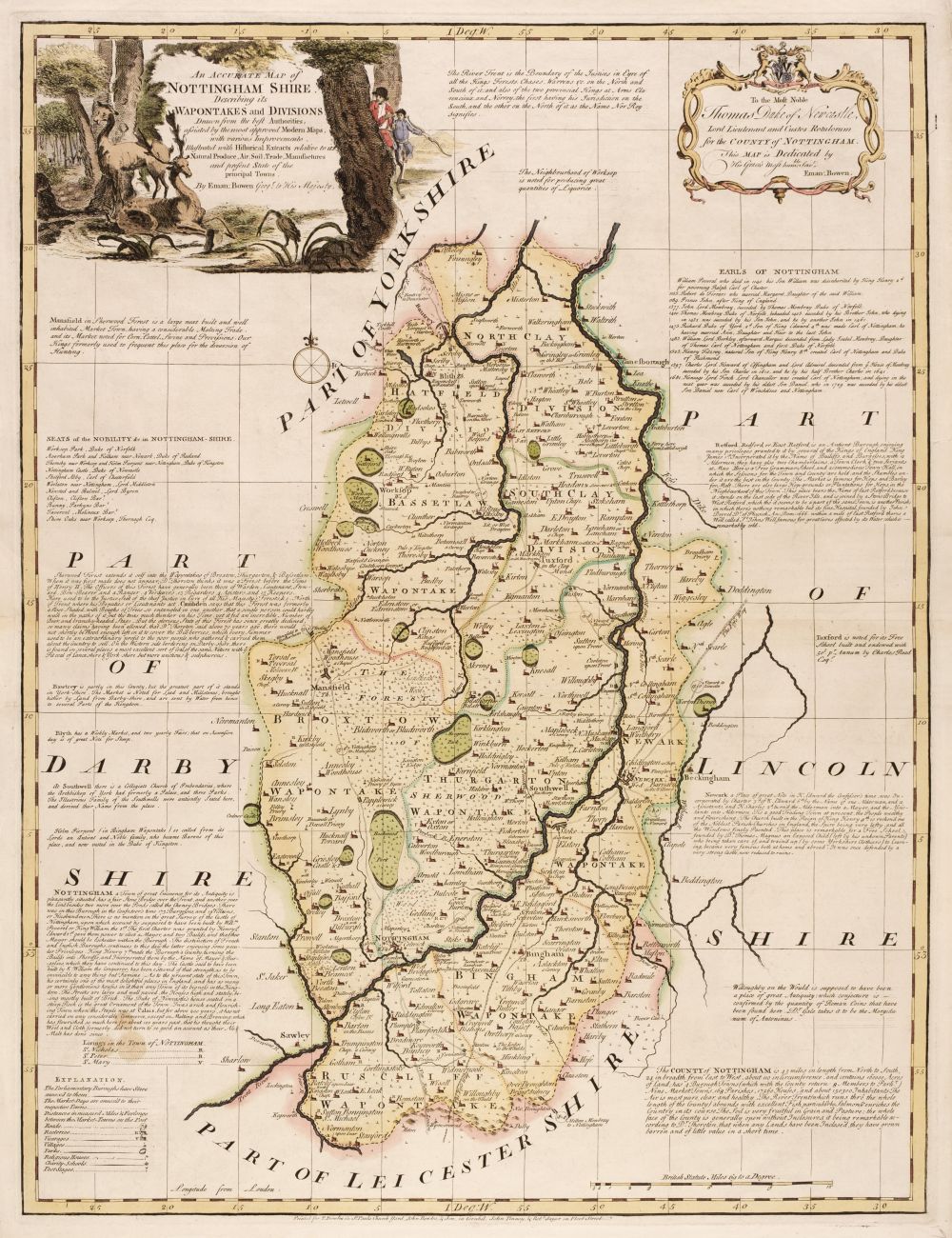
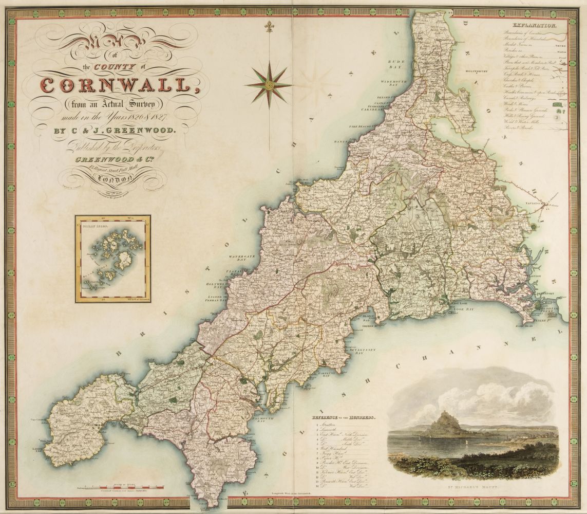
Maps. Greenwood (C. & J.), Map of the County of Worcester from an actual survey..., Map of the County of Huntingdon from an actual survey..., Map of the County of Northampton from an actual survey..., Map of the County of Stafford from an actual survey..., [and] Map of the County of Leicester from an actual survey..., circa 1830, together five engraved maps with contemporary hand colouring, each with an uncoloured topographical vignette, some marginal fraying and closed tears, occasional holes to the printed image, Staffordshire with long repaired closed tear affecting image, occasional spotting, each approximately 595 x 725 mm, together with Toms (W. engraver). Most Humbly Inscribed to the Rt. Honble. Sir Charles Wager, first Lord Commissioner of the Admiralty. This plan of the Harbour, Town and Several Forts O Cartagena. In which is Exhibited a Perfect View of the English Fleet as they Anchored all along the Coast..., S. Harding & W. H. Toms, May 29th 1741, uncoloured engraved map with reference table below image, creased and with some dust and finger soiling, 440 x 595 mm, with Faden (William, publisher). Plan of the Harbour of Cadiz surveyed by Brigadier Don Vincent Tofino de San Miguel Director of the Naval Academies for Cadets 1789, Re-published...., 1805, uncoloured engraved chart, inset reference table, creased and with some dust soiling and staining, 590 x 860 mm, plus Foster (E. publisher). Foster's Chart of Rome, France and Britain with Historical Notices and dates of other States of Europe, 43rd edition, circa 1855, an uncoloured broadside of chronological historical and important dates for Rome France and the countries of the United Kingdom, some staining, laid on linen, 800 x 565 mm, and three various Ordnance Survey maps, various sizes, all damaged (Qty: 11) 1` Sold as a collection of maps, not subject to return.
Maps. Greenwood (C. & J.), Map of the County of Worcester from an actual survey..., Map of the County of Huntingdon from an actual survey..., Map of the County of Northampton from an actual survey..., Map of the County of Stafford from an actual survey..., [and] Map of the County of Leicester from an actual survey..., circa 1830, together five engraved maps with contemporary hand colouring, each with an uncoloured topographical vignette, some marginal fraying and closed tears, occasional holes to the printed image, Staffordshire with long repaired closed tear affecting image, occasional spotting, each approximately 595 x 725 mm, together with Toms (W. engraver). Most Humbly Inscribed to the Rt. Honble. Sir Charles Wager, first Lord Commissioner of the Admiralty. This plan of the Harbour, Town and Several Forts O Cartagena. In which is Exhibited a Perfect View of the English Fleet as they Anchored all along the Coast..., S. Harding & W. H. Toms, May 29th 1741, uncoloured engraved map with reference table below image, creased and with some dust and finger soiling, 440 x 595 mm, with Faden (William, publisher). Plan of the Harbour of Cadiz surveyed by Brigadier Don Vincent Tofino de San Miguel Director of the Naval Academies for Cadets 1789, Re-published...., 1805, uncoloured engraved chart, inset reference table, creased and with some dust soiling and staining, 590 x 860 mm, plus Foster (E. publisher). Foster's Chart of Rome, France and Britain with Historical Notices and dates of other States of Europe, 43rd edition, circa 1855, an uncoloured broadside of chronological historical and important dates for Rome France and the countries of the United Kingdom, some staining, laid on linen, 800 x 565 mm, and three various Ordnance Survey maps, various sizes, all damaged (Qty: 11) 1` Sold as a collection of maps, not subject to return.


Testen Sie LotSearch und seine Premium-Features 7 Tage - ohne Kosten!
Lassen Sie sich automatisch über neue Objekte in kommenden Auktionen benachrichtigen.
Suchauftrag anlegen