MEDINA, Pedro de. L'art de naviguer. Translated by Nicolas de Nicolay (1517-1583). Lyon: for G. Rouillé, 1554.
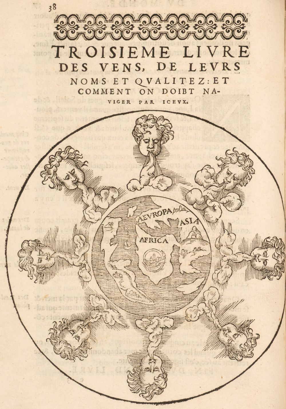
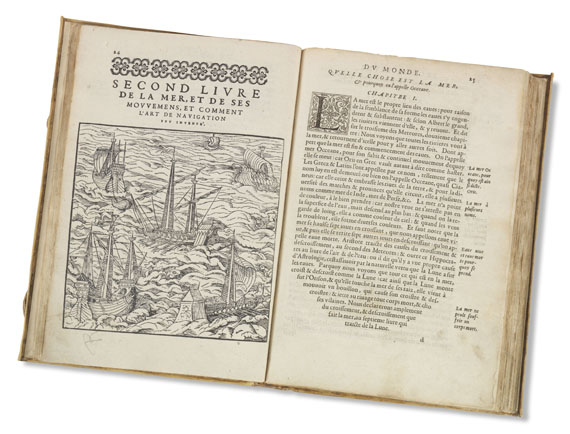
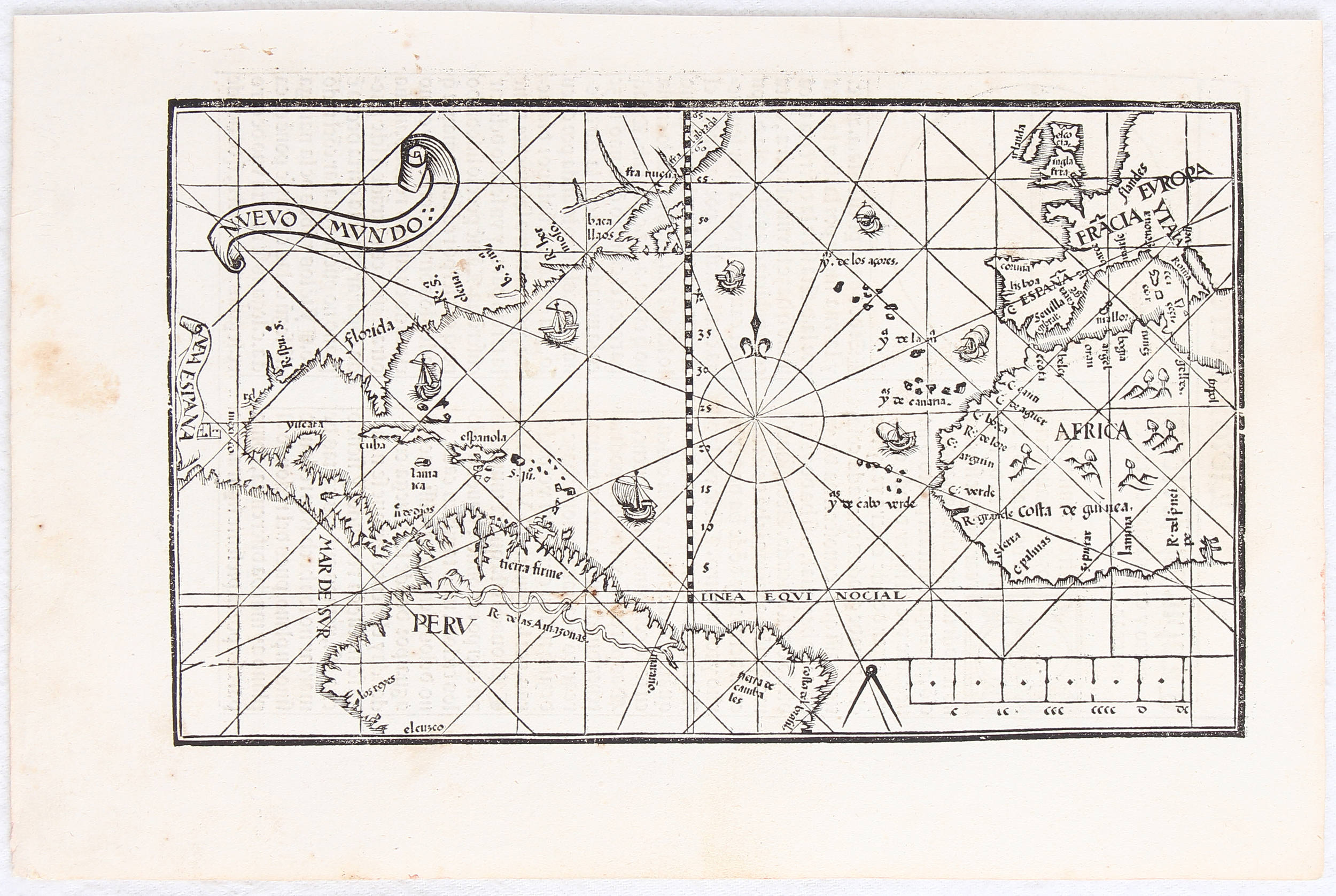
MEDINA, Pedro de. L'art de naviguer. Translated by Nicolas de Nicolay (1517-1583). Lyon: for G. Rouillé, 1554. 2 o (309 x 209 mm). Rouillé's Diana title-border, attributed to Pierre Eskrich ENGRAVED WORLD MAP signed by Nicolas de Nicolay 90 woodcuts (chiefly diagrams but including a scene of ships at sea). (Title and last gathering reinforced along gutter margin, minor marginal dampstaining at end, some very minor marginal worming at beginning.) 18th-century vellum (old paper label to spine, some light staining). FIRST EDITION IN FRENCH, second issue with the 1554 (not 1553) imprint on the title-page. Medina's L'art de naviguer, first published in Spanish in Valladolid in 1545, was the first practical treatise on navigation, and the first to give reliable information on the navigation of American waters, as Medina, who is said to have been one of Cortés captains, based his information on the first-hand experiences of pilots and masters of the ships using the Indies trade route. Nicolay's was the first translation out of Spanish of this book which was to enable the rest of Europe to challenge Spanish hegemony of the seas. It became a popular standard text in the sixteenth-century, and was translated into Italian in 1554, and later into English and Dutch. THE EXTREMELY IMPORTANT MAP of the Atlantic and adjacent coastal regions Novveau monde by Nicolas de Nicolay is of high quality and depicts greater detail than the map in the first edition. Adams M-1027; Alden & Landis 554/44; Burden 19; Hattendorf The Boundless Deep p. 20; Harvard/Mortimer French II:369; Palau 159669; Sabin 47345.


.jpg)


Testen Sie LotSearch und seine Premium-Features 7 Tage - ohne Kosten!
Lassen Sie sich automatisch über neue Objekte in kommenden Auktionen benachrichtigen.
Suchauftrag anlegen