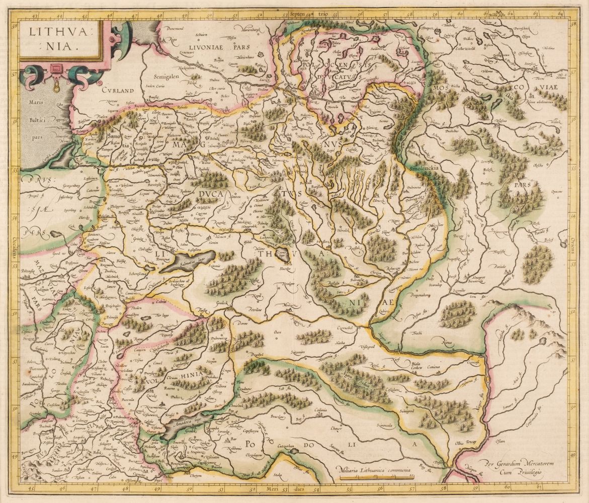
MERCATOR, Gerard and Jodocus HONDIUS (1563-1611). Atlas sive cosmographicae meditationes de fabrica mundi et fabricati figura. Amsterdam: Joducus Hondius, 1619.
MERCATOR, Gerard and Jodocus HONDIUS (1563-1611). Atlas sive cosmographicae meditationes de fabrica mundi et fabricati figura. Amsterdam: Joducus Hondius, 1619. 5 parts in one volume, 2° (473 x 315 mm). Text in Latin. Engraved allegorical title, engraved double-page portraits of Mercator and Hondius, 4 hand-colored engraved divisional titles, and 156 double-page engraved maps, mounted on guards, ALL FINELY COLORED BY A CONTEMPORARY HAND. (Title with marginal repairs on verso, world map with repaired tear along fold and tiny hole at center, tiny hole and split in green pigment border of "Nova Europae Descriptio" and "America," cracking to greens especially to some Belgian and German regional maps, occasional repairs to margins or image of approximately 30 maps.) Contemporary Dutch vellum gilt (some light staining). Provenance : inscription dated March 1693 (“l1 vi Mars 1693 la canaille m[...] donna la poulair.” on lower paste down). THE MERCATOR-HONDIUS ATLAS WITH 156 ENGRAVED DOUBLE-PAGE MAPS, FINELY COLORED BY A CONTEMPORARY HAND. The Mercator-Hondius atlas is one of the most important atlases in the history of cartography. First published in 1595 by Mercator, and continued by Hondius, who purchased his plates in 1604. New maps were included in each edition, expanding the 107 maps of the first edition to 156 in the 1619 edition. The divisional titles of the Atlas are: Galliae tabule geographicae ; Belgii Inferioris geographicae tabule ; Germaniae tabule geographicae ; Italiae, Sclavoniae, et Graeciae tabule geographice . The Atlas inludes: Rumold Mercator’s striking world map, Orbis Terrae Compendiosa Descriptio. Amsterdam, dated 1587, "a model of clarity and neatness" (Shirley); Michael Mercator, America sive India Nova ; Jodocus Hondius America; Gerard Mercator, Virginiae item et Floridae Americae and maps of Europe, Africa, Asia and regional maps of Northern Europe (including Great Britain), France, Belgium, Germany, Italy and others. [ With :] 2 additional maps of Ireland and Scotia by Janson tipped in. Burden 87, 150, 151; Koeman Me 26A; Shirley 157.

.jpg)


Testen Sie LotSearch und seine Premium-Features 7 Tage - ohne Kosten!
Lassen Sie sich automatisch über neue Objekte in kommenden Auktionen benachrichtigen.
Suchauftrag anlegen