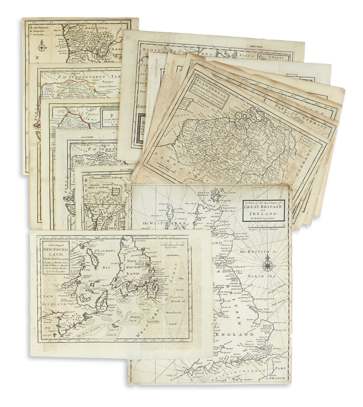
MOLL, Herman. A group of four maps of Southern Europe, likely from Catalogue of a New and Compleat Set of Twenty-Five Two-Sheet Maps , including: A New Map of Italy Distinguishing all the Sovereignties in it... 1714 . [London:] H. Moll, J. and T. Bowles, Philip Overton, and John King [ca 1730]. Engraved map, on two joined sheets, 610 x 1020 mm, hand-colored in outline. Matted. -- A New Map of the Upper Part of Italy . [London:]T. and J. Bowles, [ca 1730]. Engraved map, on two joined sheets, 624 x 1035 mm, hand-colored in outline. Matted. -- A New and Exact Map of Spain & Portugal 1711. [London:] Printed for H. Moll, D. Midwinter, P. Overton and T. Bowles, [ca 1730]. Engraved map, on two joined sheets, 613 x 987 mm, hand-colored in outline. Matted and framed. -- An Historical Map of the Roman Empire and the neighboring Barbarous Nations... by Monsieur William Del Isle... . London: H. Moll, T. Bowles, John Bowles Phillip Overton, and John King 1709 [ca 1730]. Engraved map, on two joined sheets 554 x 1205 mm, hand-colored in outline, text in Latin and English. (A few spots.) Matted. (4)
MOLL, Herman. A group of four maps of Southern Europe, likely from Catalogue of a New and Compleat Set of Twenty-Five Two-Sheet Maps , including: A New Map of Italy Distinguishing all the Sovereignties in it... 1714 . [London:] H. Moll, J. and T. Bowles, Philip Overton, and John King [ca 1730]. Engraved map, on two joined sheets, 610 x 1020 mm, hand-colored in outline. Matted. -- A New Map of the Upper Part of Italy . [London:]T. and J. Bowles, [ca 1730]. Engraved map, on two joined sheets, 624 x 1035 mm, hand-colored in outline. Matted. -- A New and Exact Map of Spain & Portugal 1711. [London:] Printed for H. Moll, D. Midwinter, P. Overton and T. Bowles, [ca 1730]. Engraved map, on two joined sheets, 613 x 987 mm, hand-colored in outline. Matted and framed. -- An Historical Map of the Roman Empire and the neighboring Barbarous Nations... by Monsieur William Del Isle... . London: H. Moll, T. Bowles, John Bowles Phillip Overton, and John King 1709 [ca 1730]. Engraved map, on two joined sheets 554 x 1205 mm, hand-colored in outline, text in Latin and English. (A few spots.) Matted. (4)
MOLL, Herman. A group of four maps of Southern Europe, likely from Catalogue of a New and Compleat Set of Twenty-Five Two-Sheet Maps , including: A New Map of Italy Distinguishing all the Sovereignties in it... 1714 . [London:] H. Moll, J. and T. Bowles, Philip Overton, and John King [ca 1730]. Engraved map, on two joined sheets, 610 x 1020 mm, hand-colored in outline. Matted. -- A New Map of the Upper Part of Italy . [London:]T. and J. Bowles, [ca 1730]. Engraved map, on two joined sheets, 624 x 1035 mm, hand-colored in outline. Matted. -- A New and Exact Map of Spain & Portugal 1711. [London:] Printed for H. Moll, D. Midwinter, P. Overton and T. Bowles, [ca 1730]. Engraved map, on two joined sheets, 613 x 987 mm, hand-colored in outline. Matted and framed. -- An Historical Map of the Roman Empire and the neighboring Barbarous Nations... by Monsieur William Del Isle... . London: H. Moll, T. Bowles, John Bowles Phillip Overton, and John King 1709 [ca 1730]. Engraved map, on two joined sheets 554 x 1205 mm, hand-colored in outline, text in Latin and English. (A few spots.) Matted. (4)
MOLL, Herman. A group of four maps of Southern Europe, likely from Catalogue of a New and Compleat Set of Twenty-Five Two-Sheet Maps , including: A New Map of Italy Distinguishing all the Sovereignties in it... 1714 . [London:] H. Moll, J. and T. Bowles, Philip Overton, and John King [ca 1730]. Engraved map, on two joined sheets, 610 x 1020 mm, hand-colored in outline. Matted. -- A New Map of the Upper Part of Italy . [London:]T. and J. Bowles, [ca 1730]. Engraved map, on two joined sheets, 624 x 1035 mm, hand-colored in outline. Matted. -- A New and Exact Map of Spain & Portugal 1711. [London:] Printed for H. Moll, D. Midwinter, P. Overton and T. Bowles, [ca 1730]. Engraved map, on two joined sheets, 613 x 987 mm, hand-colored in outline. Matted and framed. -- An Historical Map of the Roman Empire and the neighboring Barbarous Nations... by Monsieur William Del Isle... . London: H. Moll, T. Bowles, John Bowles Phillip Overton, and John King 1709 [ca 1730]. Engraved map, on two joined sheets 554 x 1205 mm, hand-colored in outline, text in Latin and English. (A few spots.) Matted. (4)


Testen Sie LotSearch und seine Premium-Features 7 Tage - ohne Kosten!
Lassen Sie sich automatisch über neue Objekte in kommenden Auktionen benachrichtigen.
Suchauftrag anlegen