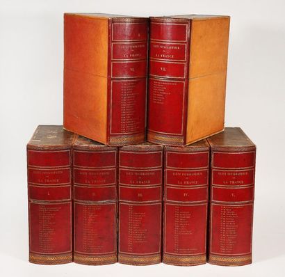
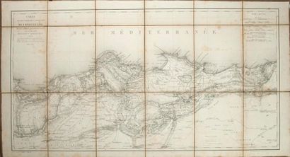
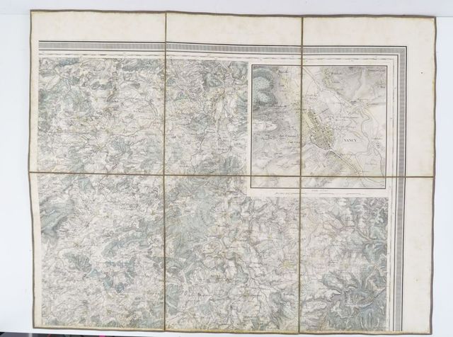
PELET (LIEUTENANT) Carte general des principaux etats de l’Europe, very large engraved map, hand-coloured in outline, dissected and laid on four linen sheets, folding into marbled box, defective, each sheet approximately 610 x 800mm., Paris, C. Picquet, 1832; CHARTIER (A.T.) Carte general des chemin de fers Europiennes, large folding map, hand-coloured, dissected and laid on linen, 780 x 930mm., Paris, 1860--JOHNSTON (A. KEITH) Stanford's Library Map of Europe, in 4 sheets, hand-coloured, dissected and laid on linen, extending from Iceland to Algeria and from Portugal to the Caspian Sea, printed paper labels, folding into leather slipcase, rubbed, 770 x 878mm., "Additions to 1875" (4)
PELET (LIEUTENANT) Carte general des principaux etats de l’Europe, very large engraved map, hand-coloured in outline, dissected and laid on four linen sheets, folding into marbled box, defective, each sheet approximately 610 x 800mm., Paris, C. Picquet, 1832; CHARTIER (A.T.) Carte general des chemin de fers Europiennes, large folding map, hand-coloured, dissected and laid on linen, 780 x 930mm., Paris, 1860--JOHNSTON (A. KEITH) Stanford's Library Map of Europe, in 4 sheets, hand-coloured, dissected and laid on linen, extending from Iceland to Algeria and from Portugal to the Caspian Sea, printed paper labels, folding into leather slipcase, rubbed, 770 x 878mm., "Additions to 1875" (4)


Testen Sie LotSearch und seine Premium-Features 7 Tage - ohne Kosten!
Lassen Sie sich automatisch über neue Objekte in kommenden Auktionen benachrichtigen.
Suchauftrag anlegen