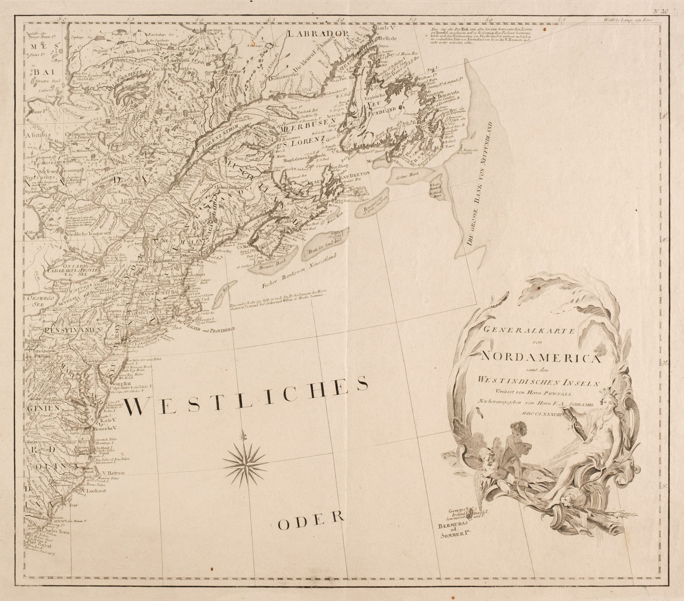
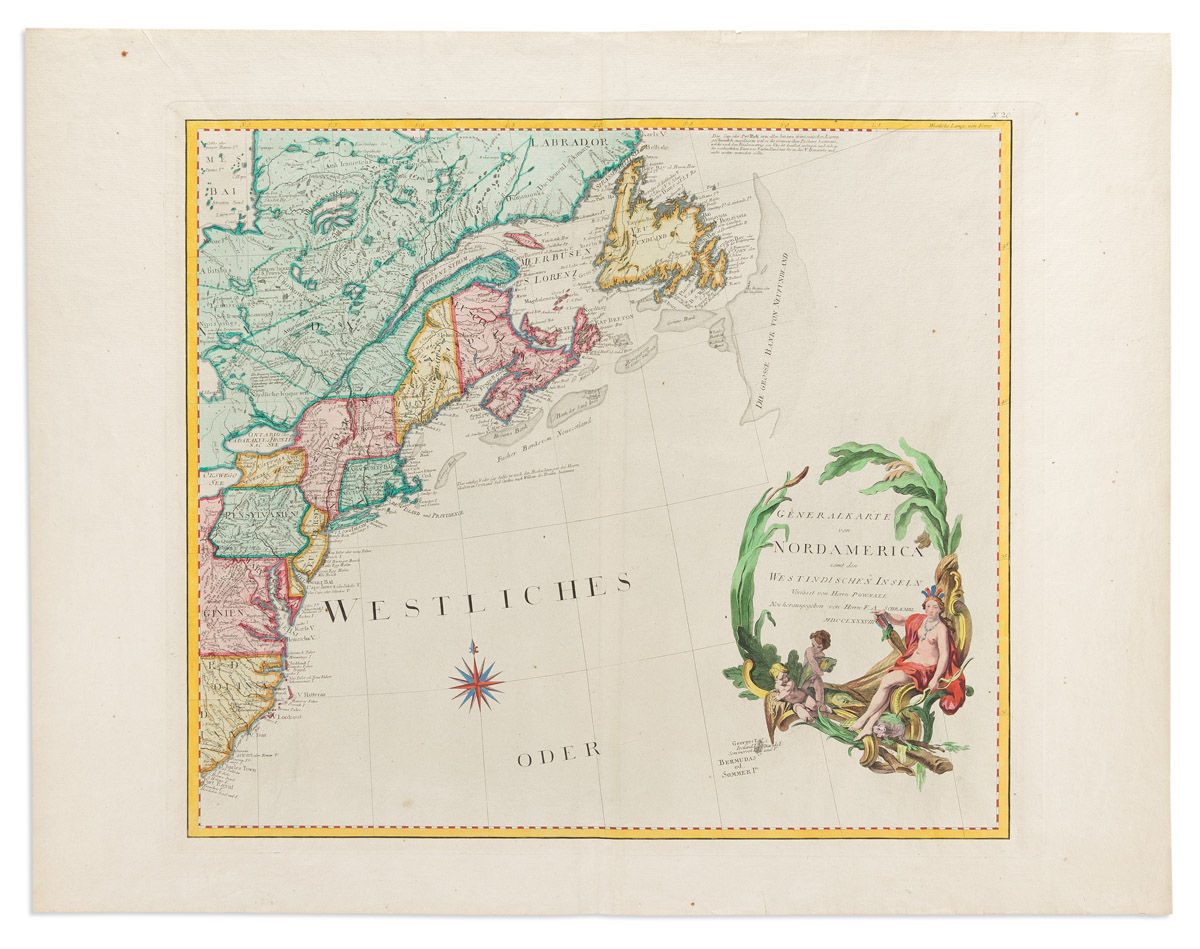
POWNALL, Thomas (1722-1805)]. Generalkarte von Nordamerica samt den Westindischen Inseln . Vienna: Franz Anton Schraembl, 1788. Engraved folding map by J. Stenger composed of 16 separate sheets mounted on linen, together 1020 x 1180 mm, hand-colored in outline, large engraved title cartouche, engraved scale cartouche, manuscript title on verso. (Some sheets partially parted from mount at corners, a few pale foxmarks.) Contemporary board slipcase, manuscript title label on cover. A fine copy of Schraembl's edition of Pownall's 1776 North American map. Insets show Baffin's and Hudson's Bay and Baja California and New Mexico. The inset of California is derived from the map of the Jesuit Eusebio first printed in 1705. Pownall's map was issued under the title A map of the middle British colonies in North America , and updated the Lewis Evans map of 1755. See Phillips, List of Maps of America , p.587. Schraembl's edition is not listed in Phillips.
POWNALL, Thomas (1722-1805)]. Generalkarte von Nordamerica samt den Westindischen Inseln . Vienna: Franz Anton Schraembl, 1788. Engraved folding map by J. Stenger composed of 16 separate sheets mounted on linen, together 1020 x 1180 mm, hand-colored in outline, large engraved title cartouche, engraved scale cartouche, manuscript title on verso. (Some sheets partially parted from mount at corners, a few pale foxmarks.) Contemporary board slipcase, manuscript title label on cover. A fine copy of Schraembl's edition of Pownall's 1776 North American map. Insets show Baffin's and Hudson's Bay and Baja California and New Mexico. The inset of California is derived from the map of the Jesuit Eusebio first printed in 1705. Pownall's map was issued under the title A map of the middle British colonies in North America , and updated the Lewis Evans map of 1755. See Phillips, List of Maps of America , p.587. Schraembl's edition is not listed in Phillips.


Testen Sie LotSearch und seine Premium-Features 7 Tage - ohne Kosten!
Lassen Sie sich automatisch über neue Objekte in kommenden Auktionen benachrichtigen.
Suchauftrag anlegen