RENARD, Louis (1678-1746)]. Atlas de la navigation et du commerce qui se fait dans toutes les parties du monde . Amsterdam: Louis Renard, 1715.
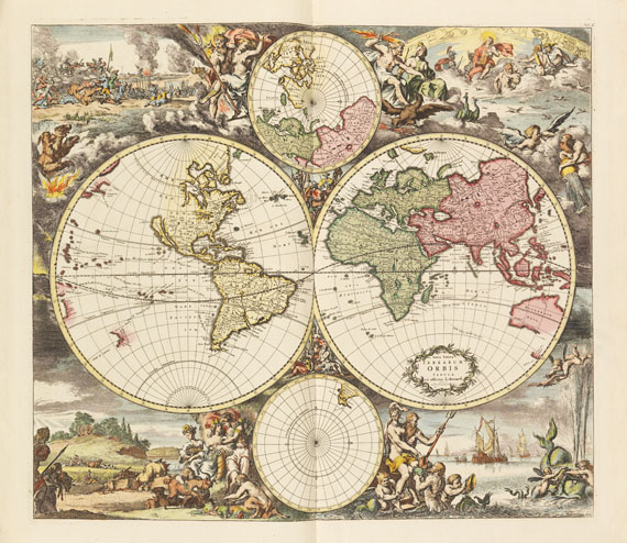
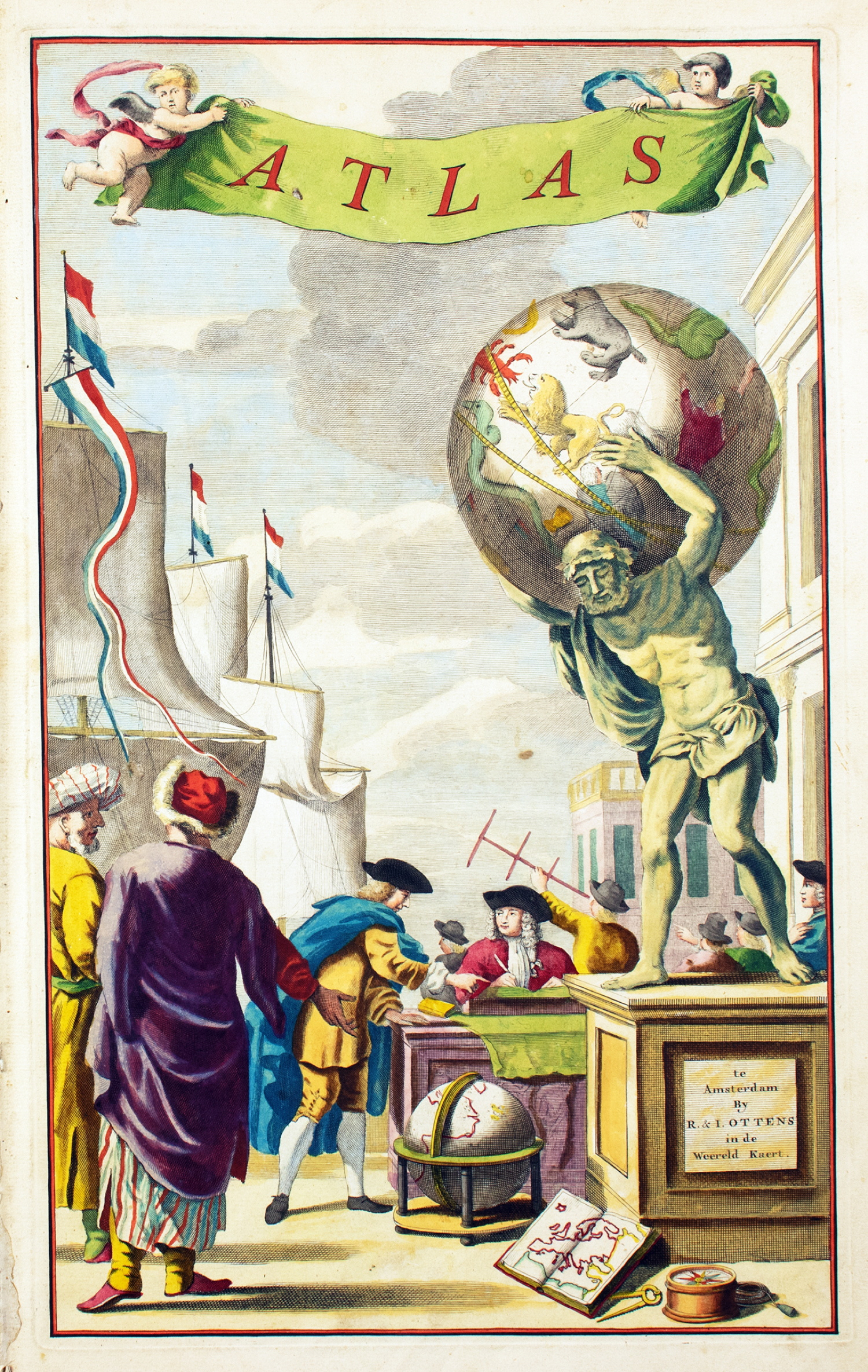
RENARD, Louis (1678-1746)]. Atlas de la navigation et du commerce qui se fait dans toutes les parties du monde . Amsterdam: Louis Renard, 1715. 2° (536 x 342mm). Title printed in red and black with engraved vignette of British royal arms, engraved frontispiece of Atlas supporting a planispherical world map, portrait of George I by Picart, 28 double-page (one folding) maps, 2 folding plates of fortification plans, engraved title vignette, headpiece and initial opening dedication, all maps and title-page coloured by a modern hand, all sheets on guards. (Occasional insignificant spotting.) Contemporary Dutch mottled calf, covers panelled with gilt outer frame composed of foliate scroll tool enclosing a central panel of a gilt roll with globe cornerpieces and a large central gilt device of Atlas, gilt spine with raised bands in 9 compartments, red morocco gilt lettering-piece in second, globe device repeated in others (rebacked preserving original spine, the whole sometime refurbished). Provenance : Richardson of Pitfour (19th-century armorial bookplate) — Jean-Paul-Morin (bookplate). FIRST EDITION . Renard amended plates from De Wit's sea atlas, modernising it to ensure the atlas's practicality. Koeman IV, Ren 1 (?mistakenly not calling for the double hemisphere map); NMM 3, 264; Phillips Atlases 559.


.jpg)
.jpg?w=400)


.jpg)


Testen Sie LotSearch und seine Premium-Features 7 Tage - ohne Kosten!
Lassen Sie sich automatisch über neue Objekte in kommenden Auktionen benachrichtigen.
Suchauftrag anlegen