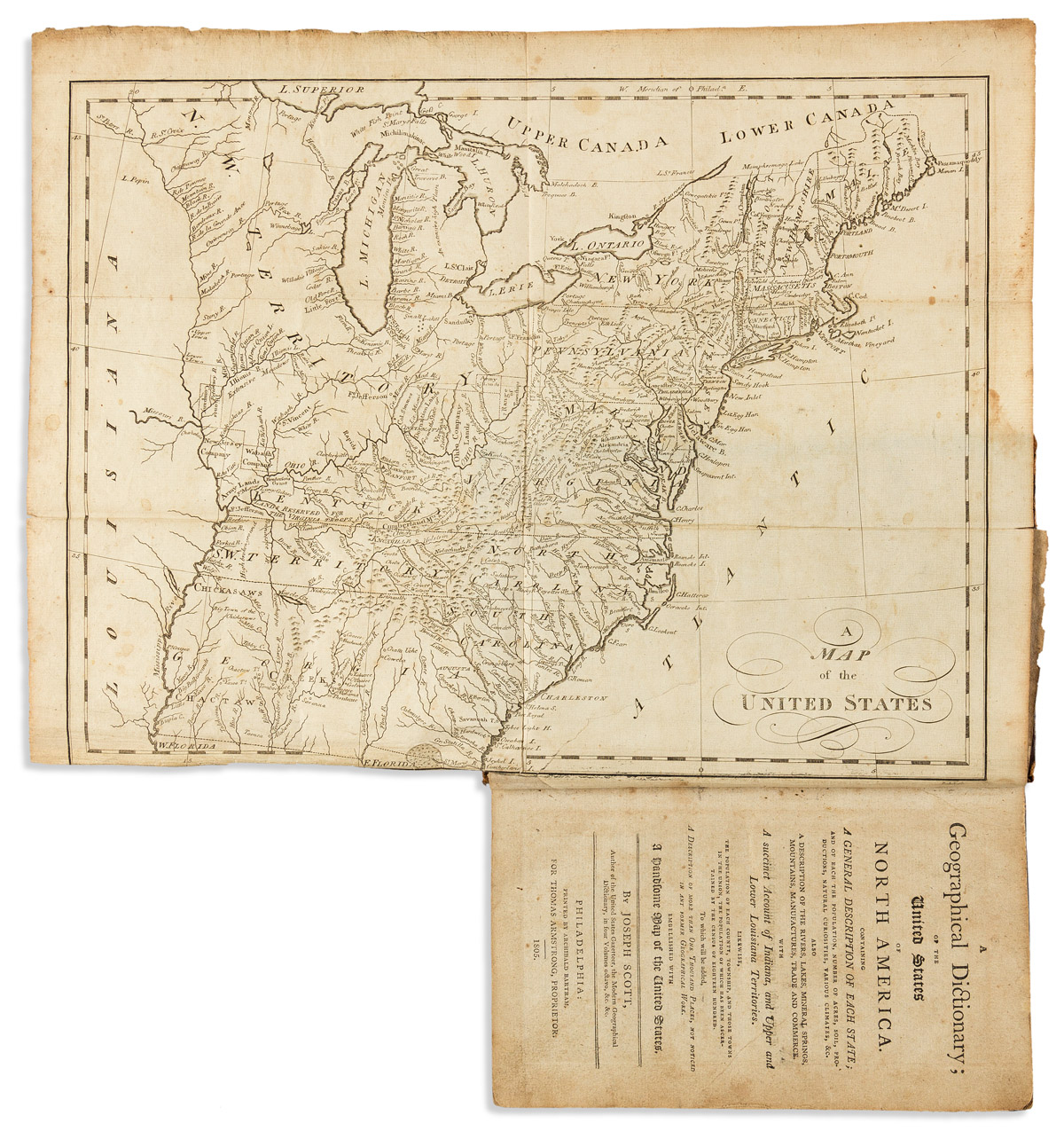
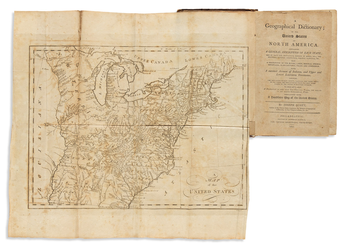
A Geographical Description of Pennsylvania: Also of the counties respectively, in the order in which they were established by the legislature.
Philadelphia: Robert Cochran, 1806. 147, [1] pp., 12mo (137 x 87 mm). Engraved folding map of the state. Publisher’s paper-backed boards, title printed on spine. Housed in a morocco-backed clamshell box. Condition : map linen-backed, foxing and browning, first signature printed off center and with minor losses from trimming; front cover detached. Provenance : William Beatty (signature on title); Governor Samuel W. Pennypacker? (catalogue clipping mounted onto the rear pastedown). Following a general description of the state (geography, climate, agriculture, resources, manufactures, canals, etc.), each county is described with its principal towns, rivers, mills and other features. In addition, each county’s population is given by township, citing both “Free Persons” and slaves. The map, presumably engraved by Scott, shows the entire state, and includes 19 numbered references showing the locations of new counties. The catalogue of the Pennypacker sale (possibly this copy and apparently the last copy to appear at auction) describes this little book as “excessively rare.” Howes S236; Sabin 78327.
.jpg)


Testen Sie LotSearch und seine Premium-Features 7 Tage - ohne Kosten!
Lassen Sie sich automatisch über neue Objekte in kommenden Auktionen benachrichtigen.
Suchauftrag anlegen