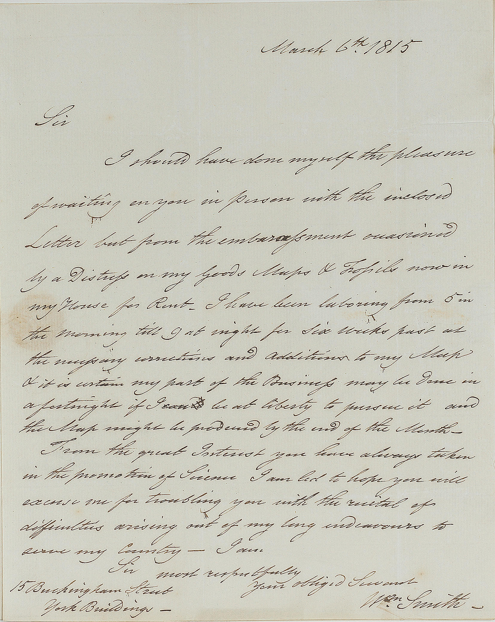
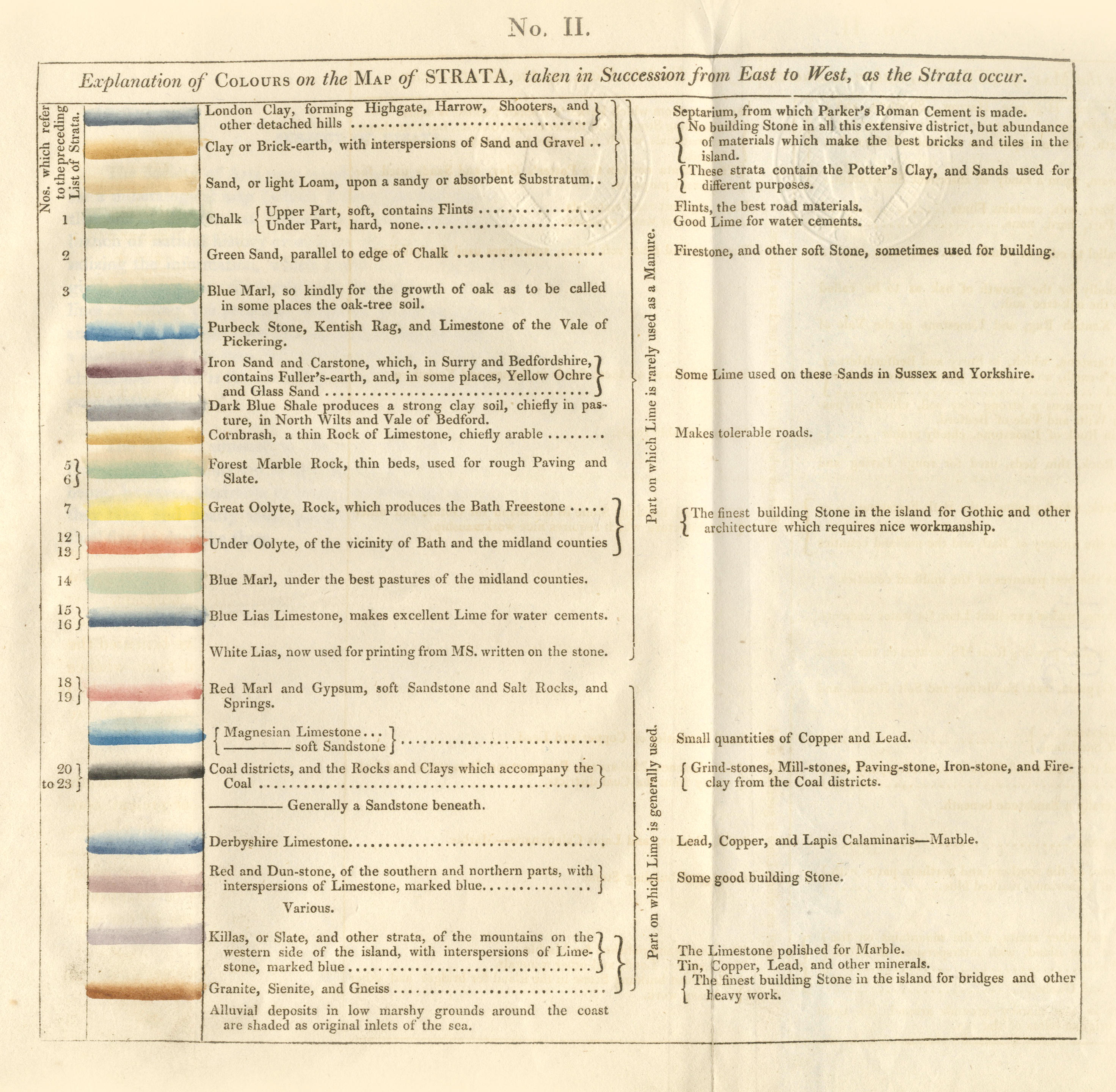
SMITH, William (1769-1830). A Delineation of the Strata of England and Wales, with part of Scotland . London: John Cary, 1 August, 1815. Large hand-coloured engraved wall map drawn on a scale of 5 miles to one inch, issued on 16 sheets, one being an uncoloured index sheet. Mounted on linen and dissected into 3 sections, the sections labelled 'North', 'Centre' and 'South', (North and Centre 1838 x 1080mm, South 1838 x 540mm). An elaborate map of the geological Strata, with key, scale-bar and sketch of the succession of the Strata, engraved title top right, signed and dated August 1st, 1815. (Areas of light dampstaining at folds, small marginal stain to centre section.) Maps backed with marbled paper, contained in original papered slipcase (scuffed). SMITH. A Memoir to the Map and Delineation of the Strata of England and Wales, with part of Scotland . London: S. Gosnell for John Cary, 1815. 4° (269 x 215mm). Collation: π 2 A-G 4 H 2 . 32 leaves. 5-page subscribers' list, one-line erratum on last page, 2 folding letterpress tables, the second with a hand-coloured key to the colours used in the Delineation . (Occasional light browning.) Original grey wrappers, printed oval paper title label on upper cover (spine torn and scuffed). FIRST EDITION OF THE FIRST PRINTED LARGE-SCALE GEOLOGICAL MAP OF ANY COUNTRY. A rare copy from the fifth and final unnumbered and unsigned series issued in and after 1817, indicated by the presence of Coral Rag in Yorkshire as well as in Oxfordshire, of the Cheviot granite (brown) and of Trap (olive-green) in the North of England. Second issue of the text, with the letterpress table entitled 'Geological table of British organized fossils', printed in 1817 and also sold separately (the first issue contains the letterpress table entitled 'Explanation of Colours on the Map of Strata'). Smith, a civil engineer with a passion for geology, made a far-reaching discovery during his work for the Canal Company in the 1790s. As work on the canals progressed, Smith became familiar with the different geological strata through which the canal passed. He also collected fossils along the way, and he gradually came to realise that individual strata had a characteristic fossil content that could be used to distinguish them from lithologically similar strata, a concept virtually unrecognised by the geologists of that period (DSB). By 1799 he had classified the strata in their correct order of succession. During this period Smith also began to colour maps to show the geological outcropping of different beds in the local hills. In 1801 he issued a printed prospectus for a projected work on the geological strata of England, which was to be accompanied by a map, but the project lay dormant until 1812, when John Cary, the London map engraver and publisher, offered to publish Smith's map on the very large scale of 5 miles to the inch. Based entirely on Smith's own discoveries, the map, which was issued with the explanatory Memoir , covers approximately 65,000 square miles and is a cartographical tour de force . The stratigraphical succession of 21 different sedimentary beds or groups of beds is indicated by different colours, with darkened edges showing superposition, and separate colours being used for large masses of granite or other crystalline rocks. Lead, tin, and copper mines, salt and alum works, collieries and canals are indicated by special symbols. Although Steno had previously noted the possibilities of dating strata through their fossil content, and although Smith himself drew no theoretical conclusions from his stratigraphical discoveries, which he viewed exclusively as a tool for economic development, his work, which established some of the most familiar names in geographical nomenclature, proved that palaeontology is a fundamental part of geology. In doing so it convinced contemporary geologists that the strata in all parts of the earth's crust belong to a single chronological sequence, a fundamental step in th
SMITH, William (1769-1830). A Delineation of the Strata of England and Wales, with part of Scotland . London: John Cary, 1 August, 1815. Large hand-coloured engraved wall map drawn on a scale of 5 miles to one inch, issued on 16 sheets, one being an uncoloured index sheet. Mounted on linen and dissected into 3 sections, the sections labelled 'North', 'Centre' and 'South', (North and Centre 1838 x 1080mm, South 1838 x 540mm). An elaborate map of the geological Strata, with key, scale-bar and sketch of the succession of the Strata, engraved title top right, signed and dated August 1st, 1815. (Areas of light dampstaining at folds, small marginal stain to centre section.) Maps backed with marbled paper, contained in original papered slipcase (scuffed). SMITH. A Memoir to the Map and Delineation of the Strata of England and Wales, with part of Scotland . London: S. Gosnell for John Cary, 1815. 4° (269 x 215mm). Collation: π 2 A-G 4 H 2 . 32 leaves. 5-page subscribers' list, one-line erratum on last page, 2 folding letterpress tables, the second with a hand-coloured key to the colours used in the Delineation . (Occasional light browning.) Original grey wrappers, printed oval paper title label on upper cover (spine torn and scuffed). FIRST EDITION OF THE FIRST PRINTED LARGE-SCALE GEOLOGICAL MAP OF ANY COUNTRY. A rare copy from the fifth and final unnumbered and unsigned series issued in and after 1817, indicated by the presence of Coral Rag in Yorkshire as well as in Oxfordshire, of the Cheviot granite (brown) and of Trap (olive-green) in the North of England. Second issue of the text, with the letterpress table entitled 'Geological table of British organized fossils', printed in 1817 and also sold separately (the first issue contains the letterpress table entitled 'Explanation of Colours on the Map of Strata'). Smith, a civil engineer with a passion for geology, made a far-reaching discovery during his work for the Canal Company in the 1790s. As work on the canals progressed, Smith became familiar with the different geological strata through which the canal passed. He also collected fossils along the way, and he gradually came to realise that individual strata had a characteristic fossil content that could be used to distinguish them from lithologically similar strata, a concept virtually unrecognised by the geologists of that period (DSB). By 1799 he had classified the strata in their correct order of succession. During this period Smith also began to colour maps to show the geological outcropping of different beds in the local hills. In 1801 he issued a printed prospectus for a projected work on the geological strata of England, which was to be accompanied by a map, but the project lay dormant until 1812, when John Cary, the London map engraver and publisher, offered to publish Smith's map on the very large scale of 5 miles to the inch. Based entirely on Smith's own discoveries, the map, which was issued with the explanatory Memoir , covers approximately 65,000 square miles and is a cartographical tour de force . The stratigraphical succession of 21 different sedimentary beds or groups of beds is indicated by different colours, with darkened edges showing superposition, and separate colours being used for large masses of granite or other crystalline rocks. Lead, tin, and copper mines, salt and alum works, collieries and canals are indicated by special symbols. Although Steno had previously noted the possibilities of dating strata through their fossil content, and although Smith himself drew no theoretical conclusions from his stratigraphical discoveries, which he viewed exclusively as a tool for economic development, his work, which established some of the most familiar names in geographical nomenclature, proved that palaeontology is a fundamental part of geology. In doing so it convinced contemporary geologists that the strata in all parts of the earth's crust belong to a single chronological sequence, a fundamental step in th


.jpg)


Testen Sie LotSearch und seine Premium-Features 7 Tage - ohne Kosten!
Lassen Sie sich automatisch über neue Objekte in kommenden Auktionen benachrichtigen.
Suchauftrag anlegen