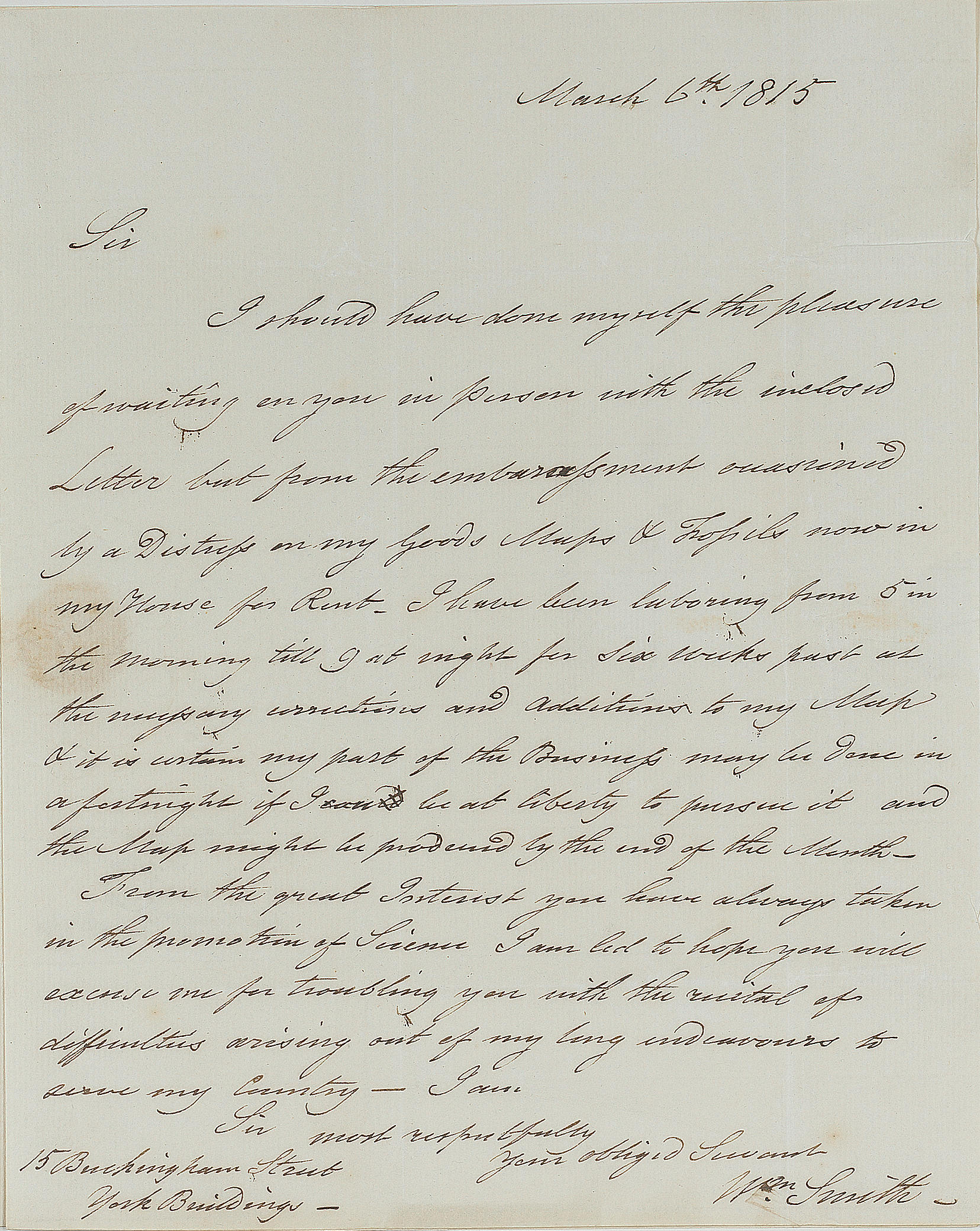
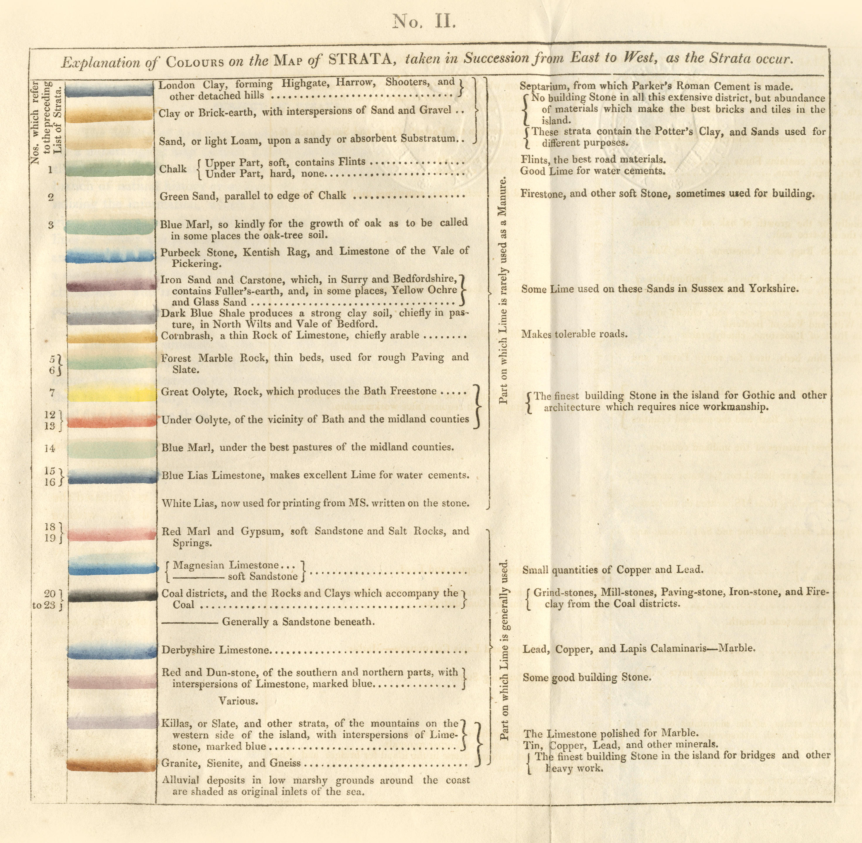
SMITH, William (1769-1839). A Delineation of the Strata of England and Wales, with part of Scotland . London: John Cary, August 1, 1815. Large hand-colored engraved wall-map printed on 15 numbered full sheets (each approx. 545 x 645 mm), including title sheet, and with an additional general full-sheet map, mounted on guards and bound to form a codex. Coal-rich areas printed in black aquatint and colored over in gray wash, the remaining colors supplied by hand in watercolor, the general map colored in outline, sheet X with an explanatory color-key. (Mapsheet XII with diagonal crease/tear repaired on verso and with lower right corner renewed, small split along platemark on mapsheet XV, few soft handling creases on title, few very minor pale foxmarks, occasional minor marginal soiling.) Contemporary half calf gilt, marbled paper boards (rebacked preserving original spine and endpapers, repairs to corners). Provenance : Marquess of Hertford (Ragley Hall armorial bookplate). FIRST EDITION OF THE FIRST PRINTED LARGE-SCALE GEOLOGICAL MAP OF ANY COUNTRY, "A MAJOR CARTOGRAPHIC AND SCIENTIFIC ACHIEVEMENT" (DSB), second issue, on J. Whatman paper watermaked "1812," and with mapsheet VI numbered "No. 38" in manuscript but not signed by Smith. No more than about 400 copies of the map were published, of which fewer than 100 are known to survive. Smith continued making small revisions and alterations to his map, and five consecutive series or issues of it have been distinguished by Joan M. Eyles. Of the first unnumbered series only a few copies are known; the present copy belongs to the second series, consisting of 100 copies numbered 1-100 and signed by Smith between 2 November and 17 December 1815 (the 3rd and 4th issues are numbered a1-a100 and b1-b100, and the 5th, issued in and after 1817, is unnumbered and unsigned). The original plates were melted down at some time after 1877. Smith, a civil engineer with a passion for geology, made a far-reaching discovery during his work for the Canal Company in the 1790s. As work on the canals progressed, Smith became familiar with the different geological strata through which the canal passed. He also collected fossils along the way, and he gradually came to realize that individual strata had a characteristic fossil content that could be used to distinguish them from other lithologically similar strata -- "a concept virtually unrecognized by the geologists of that period" (DSB). By 1799 he had classified the strata in their correct order of succession, a major achievement. During this period Smith also began to color maps to show the geological outcropping of different beds in the local hills. In 1801 he issued a printed prospectus for a projected work on the geological strata of England, which was to be accompanied by a map, but the project lay dormant until 1812, when John Cary, the London map engraver and publisher, offered to publish Smith's map on the very large scale of 5 miles to the inch. "Plates were specially engraved, and Smith himself decided what place names were to be inserted. During 1813 and 1814 he added the geological lines; and when the coloring was carried out he insisted on the use of a novel feature--each formation was colored a darker shade at its base to make clear how the beds were superimposed... By March 1816, 250 copies of the geological map had been colored and issued to subscribers..." (DSB). Based entirely on Smith's own discoveries, the map, which was issued with an explanatory Memoir , covers approximately 65,000 square miles and is a cartographical tour de force. The stratigraphical succession of 21 different sedimentary beds or groups of beds is indicated by different colors, with darkened edges showing superposition, and separate colors being used for large masses of granite or other crystalline rocks. Lead, tin, and copper mines, salt and alum works, collieries and canals are indicated by special symbols. "A comparison of his 1815 map with a modern geologic
SMITH, William (1769-1839). A Delineation of the Strata of England and Wales, with part of Scotland . London: John Cary, August 1, 1815. Large hand-colored engraved wall-map printed on 15 numbered full sheets (each approx. 545 x 645 mm), including title sheet, and with an additional general full-sheet map, mounted on guards and bound to form a codex. Coal-rich areas printed in black aquatint and colored over in gray wash, the remaining colors supplied by hand in watercolor, the general map colored in outline, sheet X with an explanatory color-key. (Mapsheet XII with diagonal crease/tear repaired on verso and with lower right corner renewed, small split along platemark on mapsheet XV, few soft handling creases on title, few very minor pale foxmarks, occasional minor marginal soiling.) Contemporary half calf gilt, marbled paper boards (rebacked preserving original spine and endpapers, repairs to corners). Provenance : Marquess of Hertford (Ragley Hall armorial bookplate). FIRST EDITION OF THE FIRST PRINTED LARGE-SCALE GEOLOGICAL MAP OF ANY COUNTRY, "A MAJOR CARTOGRAPHIC AND SCIENTIFIC ACHIEVEMENT" (DSB), second issue, on J. Whatman paper watermaked "1812," and with mapsheet VI numbered "No. 38" in manuscript but not signed by Smith. No more than about 400 copies of the map were published, of which fewer than 100 are known to survive. Smith continued making small revisions and alterations to his map, and five consecutive series or issues of it have been distinguished by Joan M. Eyles. Of the first unnumbered series only a few copies are known; the present copy belongs to the second series, consisting of 100 copies numbered 1-100 and signed by Smith between 2 November and 17 December 1815 (the 3rd and 4th issues are numbered a1-a100 and b1-b100, and the 5th, issued in and after 1817, is unnumbered and unsigned). The original plates were melted down at some time after 1877. Smith, a civil engineer with a passion for geology, made a far-reaching discovery during his work for the Canal Company in the 1790s. As work on the canals progressed, Smith became familiar with the different geological strata through which the canal passed. He also collected fossils along the way, and he gradually came to realize that individual strata had a characteristic fossil content that could be used to distinguish them from other lithologically similar strata -- "a concept virtually unrecognized by the geologists of that period" (DSB). By 1799 he had classified the strata in their correct order of succession, a major achievement. During this period Smith also began to color maps to show the geological outcropping of different beds in the local hills. In 1801 he issued a printed prospectus for a projected work on the geological strata of England, which was to be accompanied by a map, but the project lay dormant until 1812, when John Cary, the London map engraver and publisher, offered to publish Smith's map on the very large scale of 5 miles to the inch. "Plates were specially engraved, and Smith himself decided what place names were to be inserted. During 1813 and 1814 he added the geological lines; and when the coloring was carried out he insisted on the use of a novel feature--each formation was colored a darker shade at its base to make clear how the beds were superimposed... By March 1816, 250 copies of the geological map had been colored and issued to subscribers..." (DSB). Based entirely on Smith's own discoveries, the map, which was issued with an explanatory Memoir , covers approximately 65,000 square miles and is a cartographical tour de force. The stratigraphical succession of 21 different sedimentary beds or groups of beds is indicated by different colors, with darkened edges showing superposition, and separate colors being used for large masses of granite or other crystalline rocks. Lead, tin, and copper mines, salt and alum works, collieries and canals are indicated by special symbols. "A comparison of his 1815 map with a modern geologic


.jpg)


Testen Sie LotSearch und seine Premium-Features 7 Tage - ohne Kosten!
Lassen Sie sich automatisch über neue Objekte in kommenden Auktionen benachrichtigen.
Suchauftrag anlegen