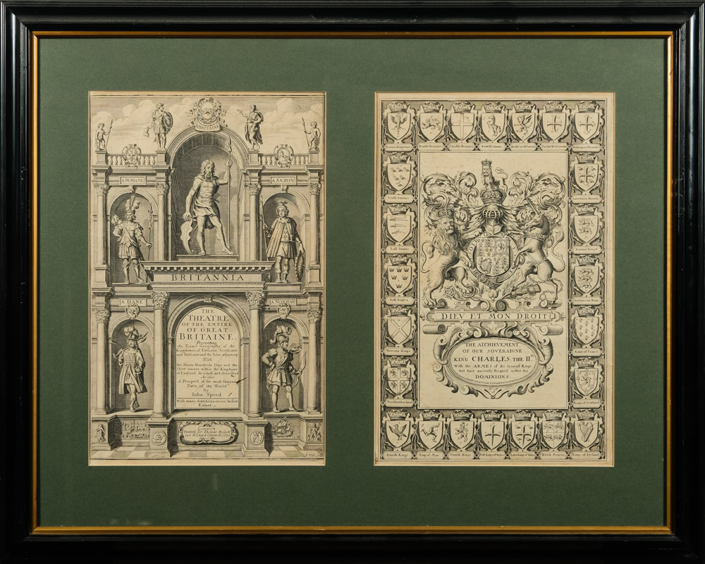
SPEED, John (1552-1629). The Theatre of the Empire of Great Britaine: Presenting an exact geography of the Kingdome of England, Scotland, Ireland, and the Iles adjoning. London: for John Sudbury & George Humble, 1614. 4 parts only in one volume, 2° (408 x 270mm). Engraved general title, arms of James I, three letterpress section titles, two with full-page woodcut royal arms on the verso, 67 double-page engraved maps (including a general map of Great Britain, Britain during the Saxon Heptarchy, England, Scotland, Wales and Ireland, and 61 county maps), most by Jodocus Hondius (Faults to about 29 of the maps, marginal in the main, most neatly repaired or caused by the shaving of the outer margins.) Old specckled sheep (corners worn, extremities rubbed). AN EARLY EDITION OF SPEED'S FAMOUS ATLAS. A reissue of the 1611 edition, the first atlas with the county maps divided into hundreds. With two exceptions, the maps were prepared by Speed from the surveys of John Norden and Christopher Saxton. William White surveyed the Isle of Wight and Thomas Durham the Isle of Man. Chubb XXIV; STC 23041.4.
SPEED, John (1552-1629). The Theatre of the Empire of Great Britaine: Presenting an exact geography of the Kingdome of England, Scotland, Ireland, and the Iles adjoning. London: for John Sudbury & George Humble, 1614. 4 parts only in one volume, 2° (408 x 270mm). Engraved general title, arms of James I, three letterpress section titles, two with full-page woodcut royal arms on the verso, 67 double-page engraved maps (including a general map of Great Britain, Britain during the Saxon Heptarchy, England, Scotland, Wales and Ireland, and 61 county maps), most by Jodocus Hondius (Faults to about 29 of the maps, marginal in the main, most neatly repaired or caused by the shaving of the outer margins.) Old specckled sheep (corners worn, extremities rubbed). AN EARLY EDITION OF SPEED'S FAMOUS ATLAS. A reissue of the 1611 edition, the first atlas with the county maps divided into hundreds. With two exceptions, the maps were prepared by Speed from the surveys of John Norden and Christopher Saxton. William White surveyed the Isle of Wight and Thomas Durham the Isle of Man. Chubb XXIV; STC 23041.4.


Testen Sie LotSearch und seine Premium-Features 7 Tage - ohne Kosten!
Lassen Sie sich automatisch über neue Objekte in kommenden Auktionen benachrichtigen.
Suchauftrag anlegen