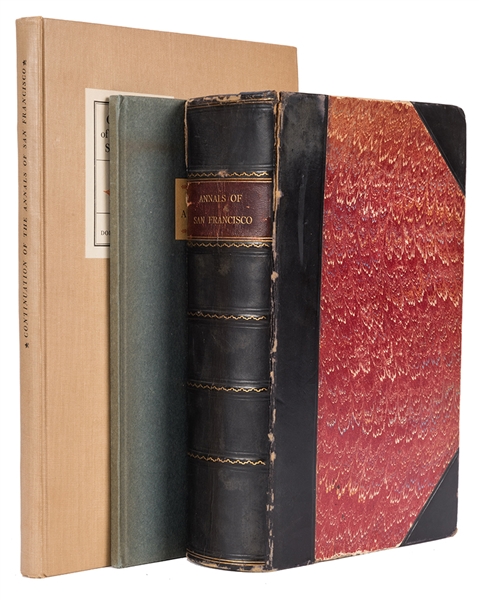
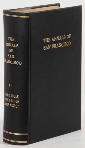
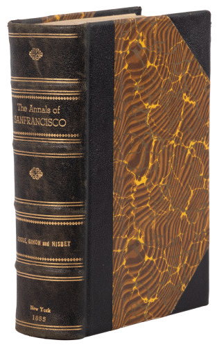
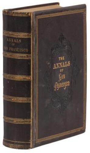
Title: The Annals of San Francisco; Containing a Summary of the History of the First Discovery, Settlement, Progress, and Present Condition of California, and a Complete History of all the Important Events Connected with Its Great City: To Which Are Added, Biographical Memoirs of Some Prominent Citizens Author: Soulé, Frank, John H. Gihon and James Nisbet Place: New York Publisher: D. Appleton and Company Date: 1855 Description: 824 pp. Illustrated with numerous wood engravings, 4 (of 6) steel-engraved plates (including frontispiece); 2 maps (1 folding). (8vo) 9x5½, original full brown morocco decoratively tooled in blind, lettered in gilt on both covers and spine, raised spine bands, all edges gilt. First Edition. One of the more desirable of the several different bindings in which the work was issued, a handsome full morocco with intricately embossed covers. The Zamorano 80 calls the work "A necessary reference book of San Francisco to the middle fifties, compiled mainly from newspapers and information received from pioneer citizens..." Also, the work “not only gives an outstanding narrative history of San Francisco, but also supplies much information on mining and its impact on this instant city" – Kurutz. The two maps are: "Map of San Francisco" (9.5x12.3 cm); and "General Map Showing the Countries Explored & Surveyed by the United States & Mexican Boundary Commission in the years 1850, 51, 52 & 53, under the direction of John R. Bartlett. U.S. Commissioner" (38.7x49 cm). This latter is a significant map of the American west and northern Mexico, with much detail in the regions newly wrested from the Mexican Republic. Kurutz 594; Cowan p.601; Graff 3901; Howes S769; Sabin 87268; Zamorano 80 #70. Lot Amendments Condition: Lightly rubbed, front hinge cracked; folding map laid down; light foxing; very good. Item number: 282699
Title: The Annals of San Francisco; Containing a Summary of the History of the First Discovery, Settlement, Progress, and Present Condition of California, and a Complete History of all the Important Events Connected with Its Great City: To Which Are Added, Biographical Memoirs of Some Prominent Citizens Author: Soulé, Frank, John H. Gihon and James Nisbet Place: New York Publisher: D. Appleton and Company Date: 1855 Description: 824 pp. Illustrated with numerous wood engravings, 4 (of 6) steel-engraved plates (including frontispiece); 2 maps (1 folding). (8vo) 9x5½, original full brown morocco decoratively tooled in blind, lettered in gilt on both covers and spine, raised spine bands, all edges gilt. First Edition. One of the more desirable of the several different bindings in which the work was issued, a handsome full morocco with intricately embossed covers. The Zamorano 80 calls the work "A necessary reference book of San Francisco to the middle fifties, compiled mainly from newspapers and information received from pioneer citizens..." Also, the work “not only gives an outstanding narrative history of San Francisco, but also supplies much information on mining and its impact on this instant city" – Kurutz. The two maps are: "Map of San Francisco" (9.5x12.3 cm); and "General Map Showing the Countries Explored & Surveyed by the United States & Mexican Boundary Commission in the years 1850, 51, 52 & 53, under the direction of John R. Bartlett. U.S. Commissioner" (38.7x49 cm). This latter is a significant map of the American west and northern Mexico, with much detail in the regions newly wrested from the Mexican Republic. Kurutz 594; Cowan p.601; Graff 3901; Howes S769; Sabin 87268; Zamorano 80 #70. Lot Amendments Condition: Lightly rubbed, front hinge cracked; folding map laid down; light foxing; very good. Item number: 282699


Testen Sie LotSearch und seine Premium-Features 7 Tage - ohne Kosten!
Lassen Sie sich automatisch über neue Objekte in kommenden Auktionen benachrichtigen.
Suchauftrag anlegen