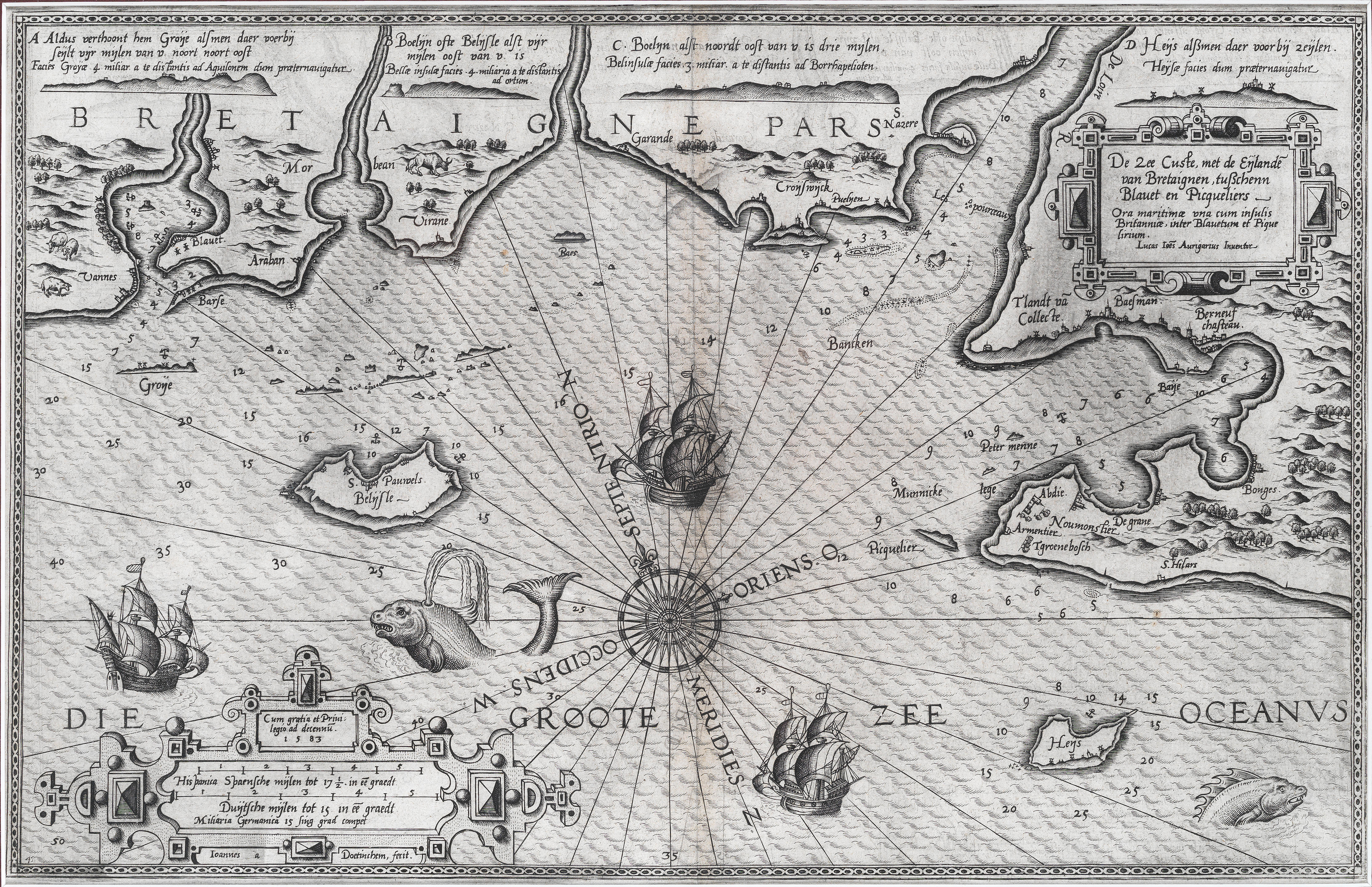
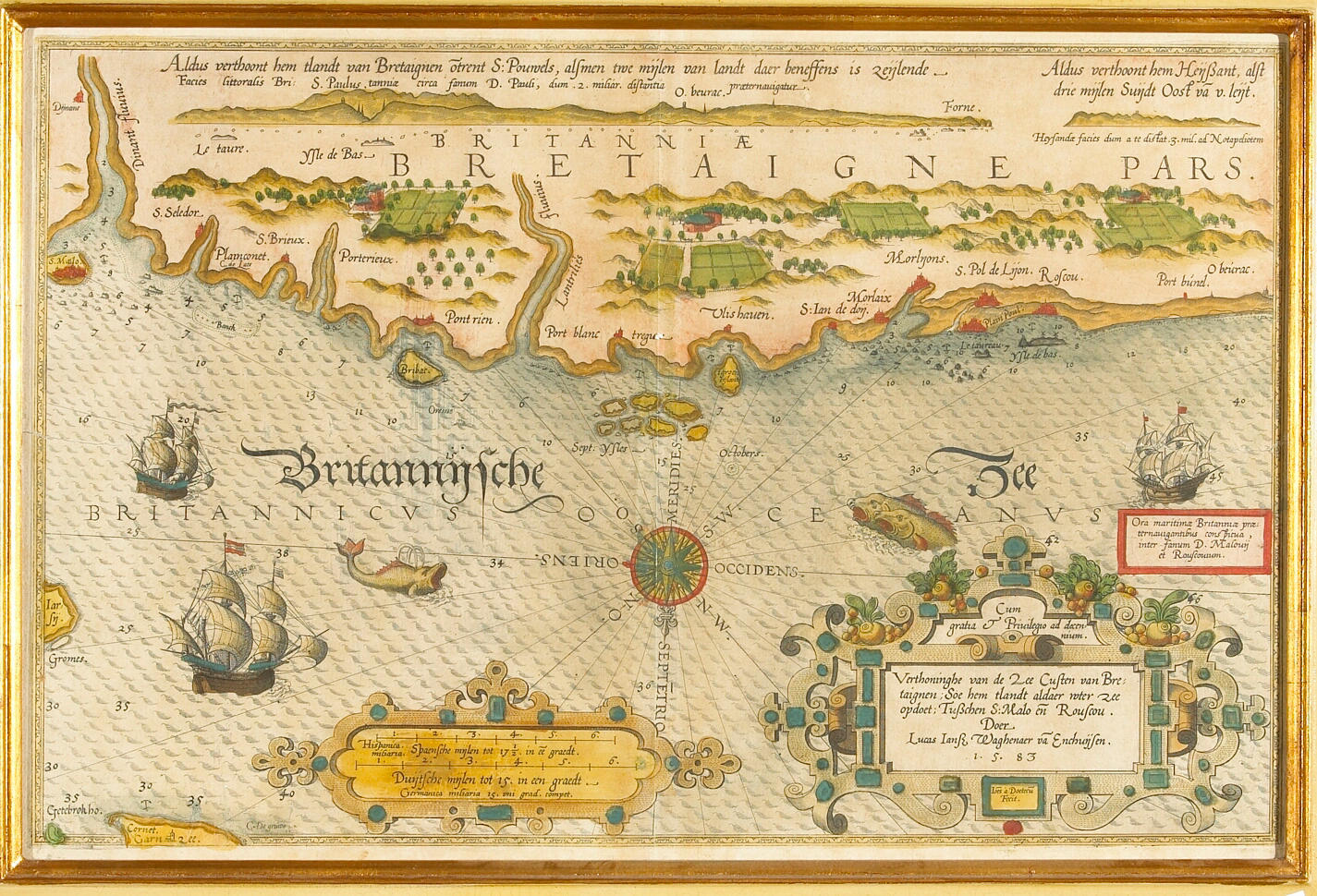
WAGHENAER, Lucas Janszoon (1533-1606). De Zee Custen tußchen Dovere en Orfordtsneße, daer de Teemse de Vermaerde Rivire va Lonen gelegen is. [Amsterdam: Cornelis Claesz, 1588]. Van Doetecum engraved map of the coast of eastern England, from Dover to Great Yarmouth, showing the mouth of the Thames, coloured by a contemporary hand. Koeman IV, Wag 6 (23c); New Hollstein 816/VII. Double-page engraved map, coloured by a contemporary hand (with some retouching), extending from Dover to Orfordness, orientated with west at top, German text on verso, German letterpress caption at head, towns denominated, coastal profiles running across the head of the map, compass rose, title and scale within strapwork borders, Latin title within plain border bottom left with number '32' [i.e. 23], 330 x 504mm (plate mark, excluding letterpress caption), 393 x 517mm (sheet).
WAGHENAER, Lucas Janszoon (1533-1606). De Zee Custen tußchen Dovere en Orfordtsneße, daer de Teemse de Vermaerde Rivire va Lonen gelegen is. [Amsterdam: Cornelis Claesz, 1588]. Van Doetecum engraved map of the coast of eastern England, from Dover to Great Yarmouth, showing the mouth of the Thames, coloured by a contemporary hand. Koeman IV, Wag 6 (23c); New Hollstein 816/VII. Double-page engraved map, coloured by a contemporary hand (with some retouching), extending from Dover to Orfordness, orientated with west at top, German text on verso, German letterpress caption at head, towns denominated, coastal profiles running across the head of the map, compass rose, title and scale within strapwork borders, Latin title within plain border bottom left with number '32' [i.e. 23], 330 x 504mm (plate mark, excluding letterpress caption), 393 x 517mm (sheet).


.jpg?w=400)




Testen Sie LotSearch und seine Premium-Features 7 Tage - ohne Kosten!
Lassen Sie sich automatisch über neue Objekte in kommenden Auktionen benachrichtigen.
Suchauftrag anlegen