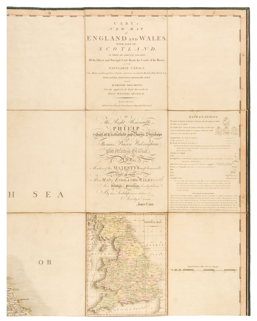
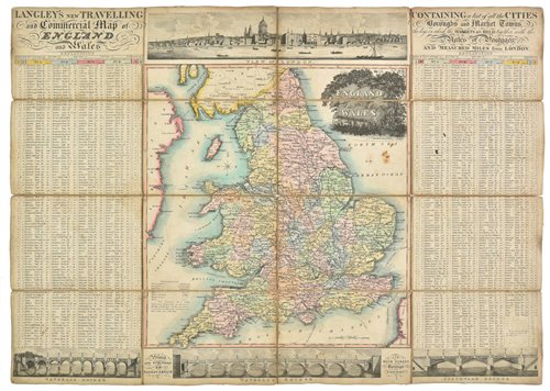
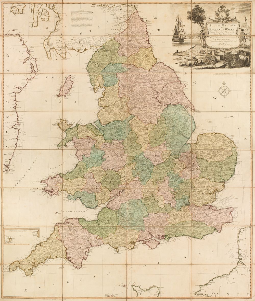
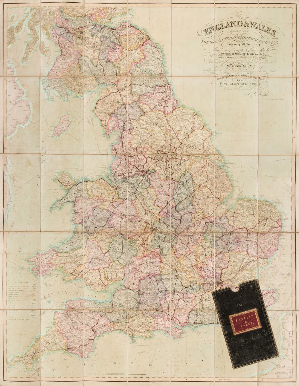
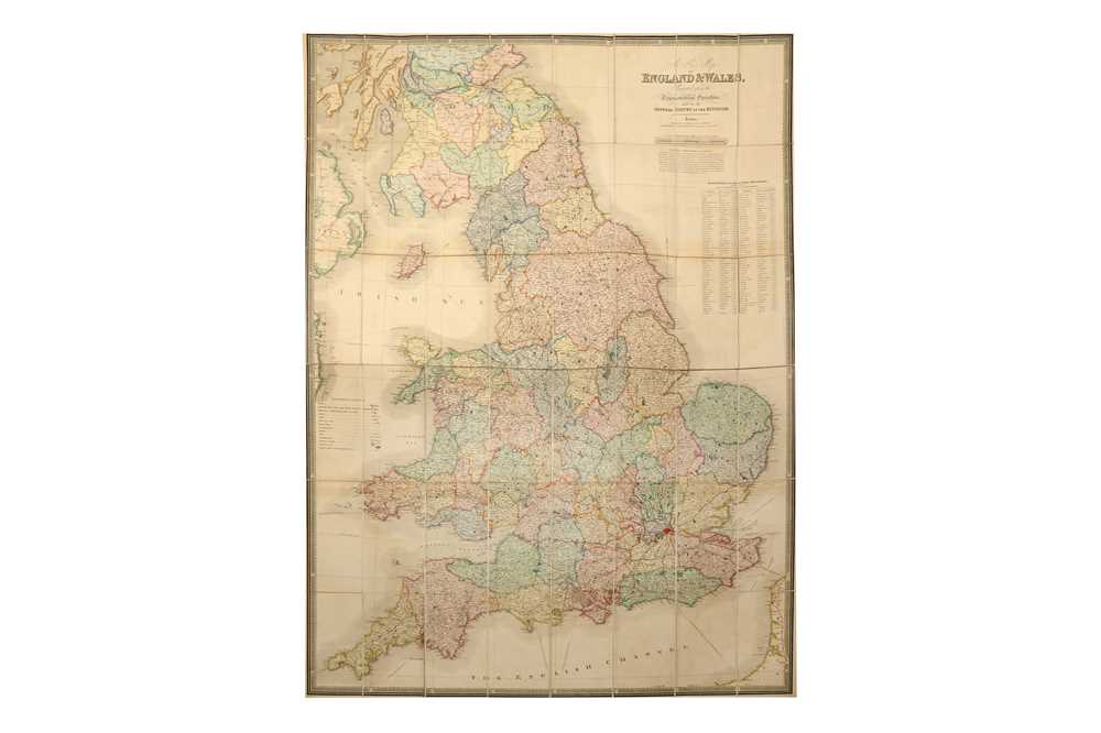
Walker (John), Walker's tour through England and Wales, a new pastime, published W. & T. Darton, 1809, engraved map with contemporary hand colouring, sectionalised and laid on linen, a map game with the 'rules' printed on the vertical margins, slight dust soiling. 505 x 635 mm, contained in a contemporary card slipcase with printed label to upper board, slight staining and wear, together with Cary (John), Cary's reduction of his large map of England and Wales with part of Scotland..., 1796, engraved map with contemporary outline colouring, sectionalised and laid on linen, 755 x 625 mm, contained in a contemporary marbled card slipcase with printed label to upper boards, some wear to extremities, with Bayly (John Abraham), England and Wales drawn from all the surveys..., [1766], hand coloured engraved folding map, 570 x 485 mm, plus Cruchley (G. F.), British Isles by Cruchley, circa 1855, engraved map with contemporary outline colouring sectionalised and laid on linen, inset map of the Shetland and Orkney Islands, some finger soiling and slight staining, 640 x 520 mm, marbled endpapers, and Wallis (John), Wallis's tour through England and Wales, A new geographical pastime, circa 1795, engraved map with contemporary hand colouring, sectionalised and laid on linen, a map game with the 'rules' and list of towns printed in the vertical margins, stained and marked, 505 x 660 mm, lacking slipcase, together with Mannert (C.), England nach Cary's Zeichnung mit hulfe der charten von Rocque, Kitchin, Campbell..., Nuremberg, 1796, engraved map with contemporary outline colouring, sectionalised and laid on linen, inset map of the Scilly Isles, slight staining, occasional pencil annotations, 655 x 540 mm, contained in publisher's card slipcase with manuscript label to upper board, worn, with Kitchin (Thomas), Kitchin's enlarged map of the Roads of England & Wales with the exact distances by the Mile Stones between town and town, published R. Sayer and J. Bennett, 1779, engraved map with contemporary outline colouring, sectionalised and laid on later linen, slight staining, 555 x 455 mm, lacking slipcase, plus Smith (Charles), Smith's new map of England and Wales and part of Scotland..., 1806, large engraved map with contemporary hand colouring, sectionalised and laid on linen, water stained, small hole affecting image, 1150 x 935 mm, lacking slipcase, and Darton (William, publishers), New and Improved map of England and Wales including the principal part of Scotland..., circa 1820, engraved map with contemporary outline colouring, sectionalised and laid on linen, slight staining, long closed tears along linen folds, 765 x 645 mm, contemporary cloth board, lacking spine and upper board, with Faden (William), A Map of England, Wales & Scotland describing all the direct and principal cross roads in Great Britain..., to accompany Paterson's Book of Roads, 1801, engraved map with contemporary outline colouring, sectionalised and laid on linen, inset map of the north part of Scotland, dust soiled and with slight staining, holes where linen folds cross, 735 x 615 mm, contained in a contemporary card slipcase with printed label to upper board, worn and frayed (10)
Walker (John), Walker's tour through England and Wales, a new pastime, published W. & T. Darton, 1809, engraved map with contemporary hand colouring, sectionalised and laid on linen, a map game with the 'rules' printed on the vertical margins, slight dust soiling. 505 x 635 mm, contained in a contemporary card slipcase with printed label to upper board, slight staining and wear, together with Cary (John), Cary's reduction of his large map of England and Wales with part of Scotland..., 1796, engraved map with contemporary outline colouring, sectionalised and laid on linen, 755 x 625 mm, contained in a contemporary marbled card slipcase with printed label to upper boards, some wear to extremities, with Bayly (John Abraham), England and Wales drawn from all the surveys..., [1766], hand coloured engraved folding map, 570 x 485 mm, plus Cruchley (G. F.), British Isles by Cruchley, circa 1855, engraved map with contemporary outline colouring sectionalised and laid on linen, inset map of the Shetland and Orkney Islands, some finger soiling and slight staining, 640 x 520 mm, marbled endpapers, and Wallis (John), Wallis's tour through England and Wales, A new geographical pastime, circa 1795, engraved map with contemporary hand colouring, sectionalised and laid on linen, a map game with the 'rules' and list of towns printed in the vertical margins, stained and marked, 505 x 660 mm, lacking slipcase, together with Mannert (C.), England nach Cary's Zeichnung mit hulfe der charten von Rocque, Kitchin, Campbell..., Nuremberg, 1796, engraved map with contemporary outline colouring, sectionalised and laid on linen, inset map of the Scilly Isles, slight staining, occasional pencil annotations, 655 x 540 mm, contained in publisher's card slipcase with manuscript label to upper board, worn, with Kitchin (Thomas), Kitchin's enlarged map of the Roads of England & Wales with the exact distances by the Mile Stones between town and town, published R. Sayer and J. Bennett, 1779, engraved map with contemporary outline colouring, sectionalised and laid on later linen, slight staining, 555 x 455 mm, lacking slipcase, plus Smith (Charles), Smith's new map of England and Wales and part of Scotland..., 1806, large engraved map with contemporary hand colouring, sectionalised and laid on linen, water stained, small hole affecting image, 1150 x 935 mm, lacking slipcase, and Darton (William, publishers), New and Improved map of England and Wales including the principal part of Scotland..., circa 1820, engraved map with contemporary outline colouring, sectionalised and laid on linen, slight staining, long closed tears along linen folds, 765 x 645 mm, contemporary cloth board, lacking spine and upper board, with Faden (William), A Map of England, Wales & Scotland describing all the direct and principal cross roads in Great Britain..., to accompany Paterson's Book of Roads, 1801, engraved map with contemporary outline colouring, sectionalised and laid on linen, inset map of the north part of Scotland, dust soiled and with slight staining, holes where linen folds cross, 735 x 615 mm, contained in a contemporary card slipcase with printed label to upper board, worn and frayed (10)





Testen Sie LotSearch und seine Premium-Features 7 Tage - ohne Kosten!
Lassen Sie sich automatisch über neue Objekte in kommenden Auktionen benachrichtigen.
Suchauftrag anlegen