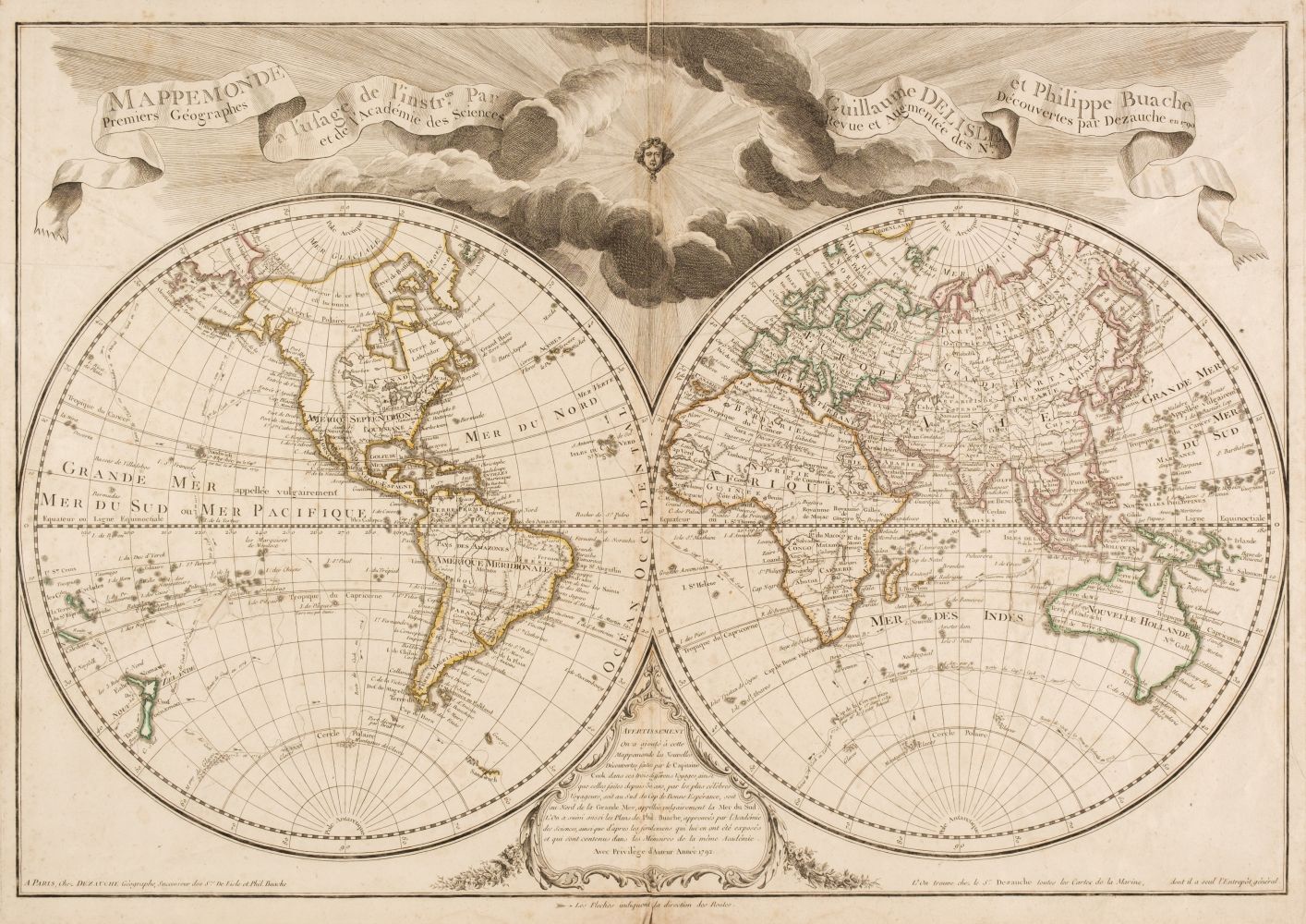
World.- De l'Isle (Guillaume) Mappemonde a l'usage du Roy, double-hemisphere world map with large armorial cartouche, engraved map with outline hand-colouring, 450 x 670 mm. (17 3/4 x 26 1/2 in), trimmed within platemark to left edge, two vertical folds, surface dirt and some light browning, handling creases, Amsterdam, Covens and Mortier, [circa 1741] § Blaeu (Johan and Willem) Natolia, quæ olim Asia Minor, Turkey in Asia, with Cyprus, title banderole above, ships and sea monster, engraved map with outline hand-colouring, 380 x 495 mm., Latin text verso, surface dirt and browning, Amsterdam, [circa 1634]; together with Sebastian Münster's Tabula Asiae X [India], woodcut, on laid paper, sheet 295 x 405 mm. (11 3/4 x 16 in), central vertical fold, some worm hole damage to lower margin, unframed, Basel, [1550], (3).
World.- De l'Isle (Guillaume) Mappemonde a l'usage du Roy, double-hemisphere world map with large armorial cartouche, engraved map with outline hand-colouring, 450 x 670 mm. (17 3/4 x 26 1/2 in), trimmed within platemark to left edge, two vertical folds, surface dirt and some light browning, handling creases, Amsterdam, Covens and Mortier, [circa 1741] § Blaeu (Johan and Willem) Natolia, quæ olim Asia Minor, Turkey in Asia, with Cyprus, title banderole above, ships and sea monster, engraved map with outline hand-colouring, 380 x 495 mm., Latin text verso, surface dirt and browning, Amsterdam, [circa 1634]; together with Sebastian Münster's Tabula Asiae X [India], woodcut, on laid paper, sheet 295 x 405 mm. (11 3/4 x 16 in), central vertical fold, some worm hole damage to lower margin, unframed, Basel, [1550], (3).


Testen Sie LotSearch und seine Premium-Features 7 Tage - ohne Kosten!
Lassen Sie sich automatisch über neue Objekte in kommenden Auktionen benachrichtigen.
Suchauftrag anlegen