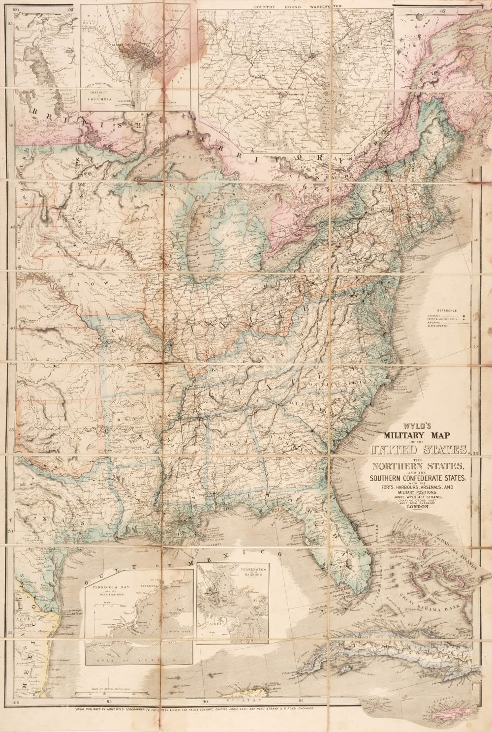
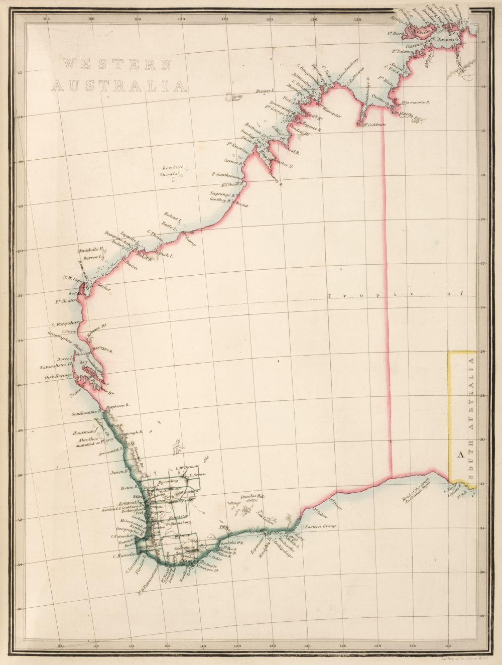
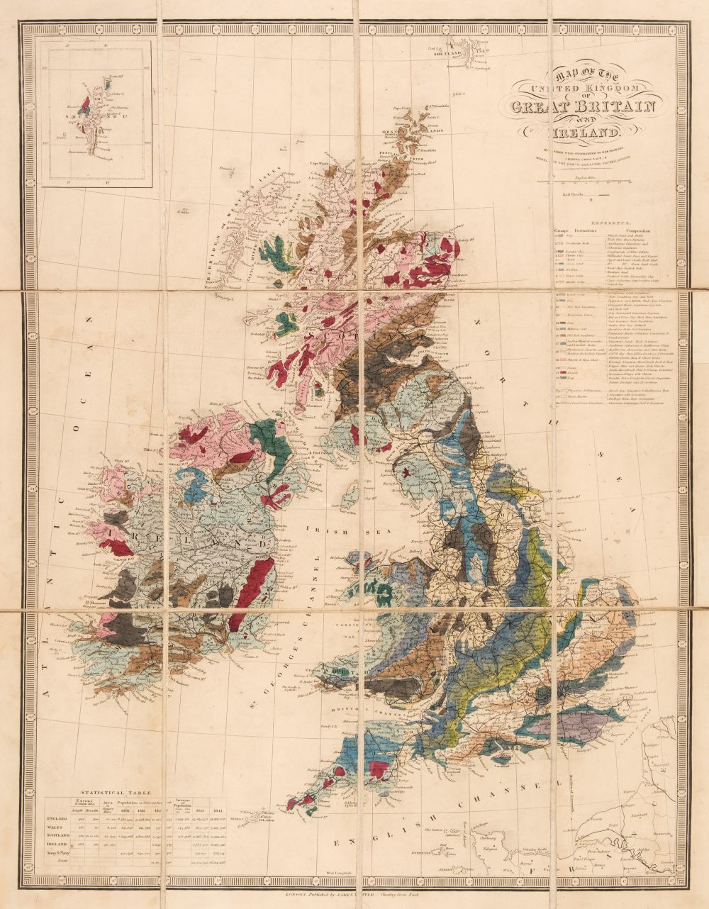
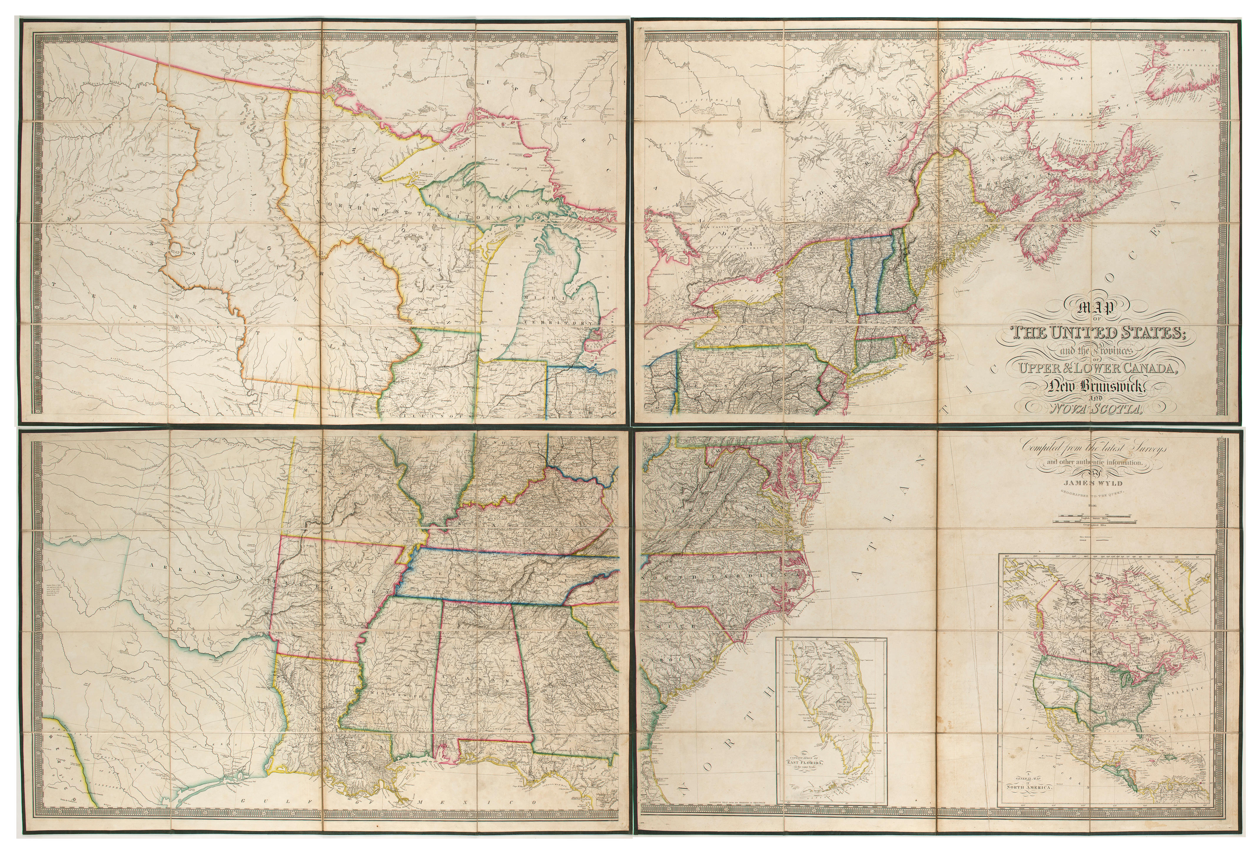
WYLD, James. The United States & The Relative Positions of the Oregon & Texas . London: James Wyld, 1845. Folding engraved map, 418 x 580 mm, hand-colored in outline, mounted on linen as issued, folding into original diced cloth covers. A fine pocket map produced at the height of the Oregon boundary controversy, with the various boundaries demarcated in color. It shows the line down the Columbia proposed by the Americans in 1824 and 1826.
WYLD, James. The United States & The Relative Positions of the Oregon & Texas . London: James Wyld, 1845. Folding engraved map, 418 x 580 mm, hand-colored in outline, mounted on linen as issued, folding into original diced cloth covers. A fine pocket map produced at the height of the Oregon boundary controversy, with the various boundaries demarcated in color. It shows the line down the Columbia proposed by the Americans in 1824 and 1826.


Testen Sie LotSearch und seine Premium-Features 7 Tage - ohne Kosten!
Lassen Sie sich automatisch über neue Objekte in kommenden Auktionen benachrichtigen.
Suchauftrag anlegen