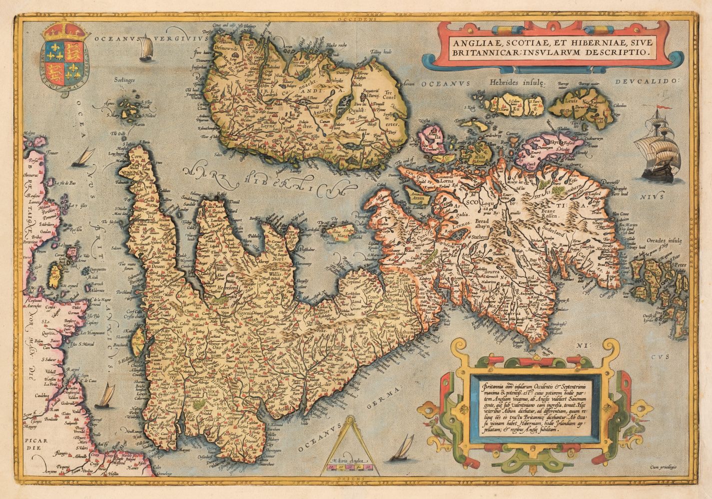
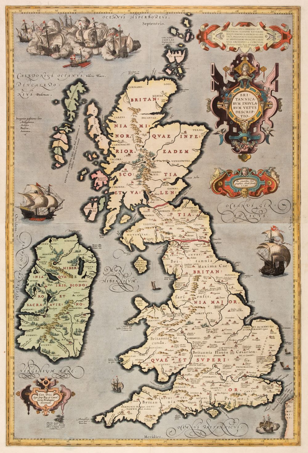
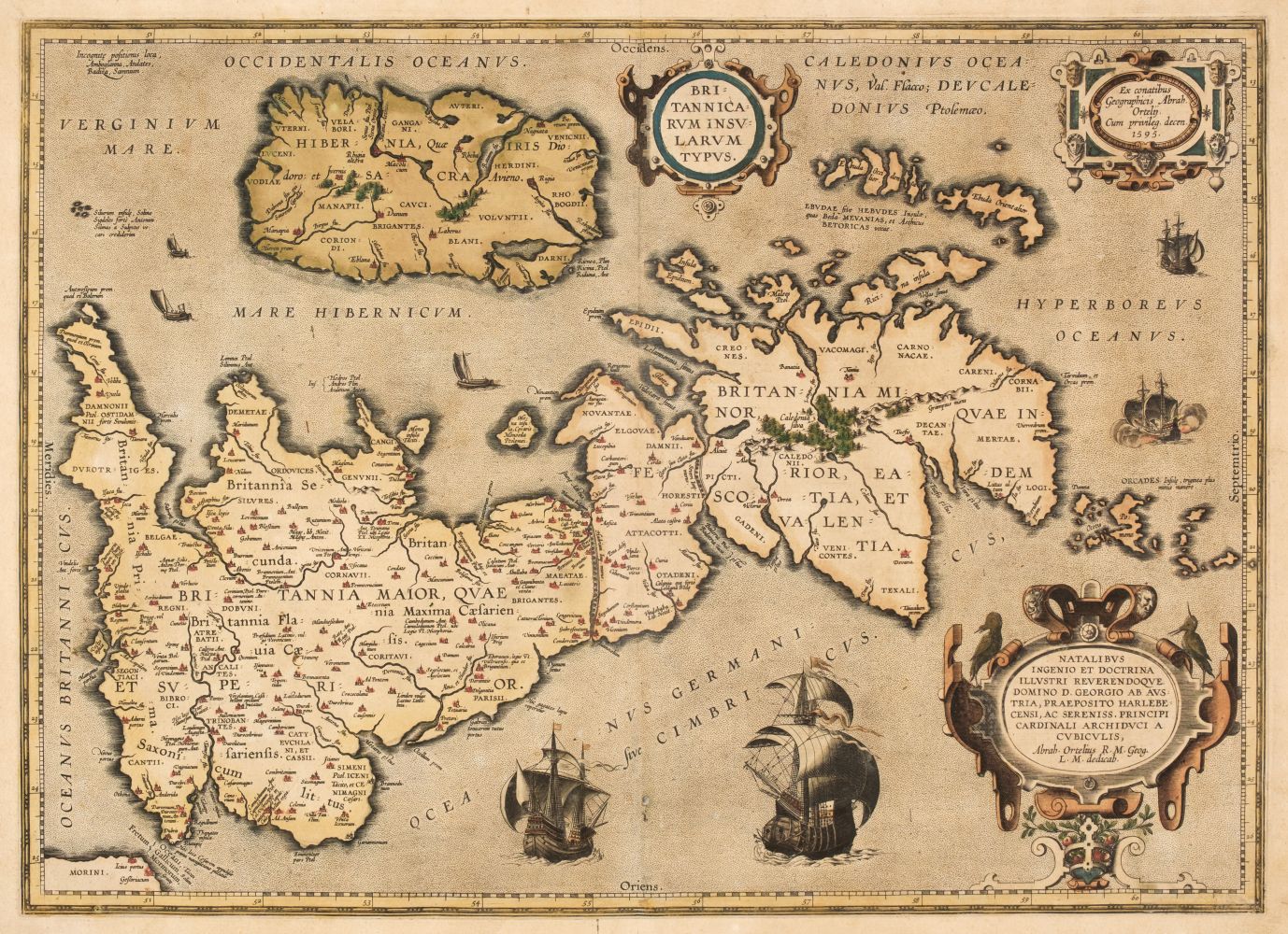
British Isles.- Ortelius (Abraham) Britannicarum Insularum Vetus Descriptio, two-sheet map of ancient Britain, probably engraved by Jan Wierix, with four ornate strap-work cartouches, a naval battle in the upper left, and a number of other vessels around the coast, engravings on laid paper, both with crossed arrow watermarks, richly hand-coloured, un-joined, each platemark approx. 370 x 490 mm. (14 1/2 x 19 1/4 in), sheets approx. 420 x 540 mm. (16 1/2 x 21 1/4 in), Latin text verso, central vertical folds, minor handling creases and surface dirt, unframed, [Antwerp, 1590] (2). Literature: VdB 190-191 ⁂ This two-part map only appeared in the early editions, being replaced by a single plate in 1595.
British Isles.- Ortelius (Abraham) Britannicarum Insularum Vetus Descriptio, two-sheet map of ancient Britain, probably engraved by Jan Wierix, with four ornate strap-work cartouches, a naval battle in the upper left, and a number of other vessels around the coast, engravings on laid paper, both with crossed arrow watermarks, richly hand-coloured, un-joined, each platemark approx. 370 x 490 mm. (14 1/2 x 19 1/4 in), sheets approx. 420 x 540 mm. (16 1/2 x 21 1/4 in), Latin text verso, central vertical folds, minor handling creases and surface dirt, unframed, [Antwerp, 1590] (2). Literature: VdB 190-191 ⁂ This two-part map only appeared in the early editions, being replaced by a single plate in 1595.


Testen Sie LotSearch und seine Premium-Features 7 Tage - ohne Kosten!
Lassen Sie sich automatisch über neue Objekte in kommenden Auktionen benachrichtigen.
Suchauftrag anlegen