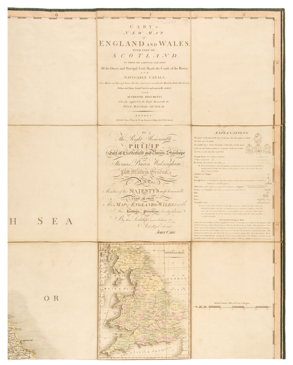
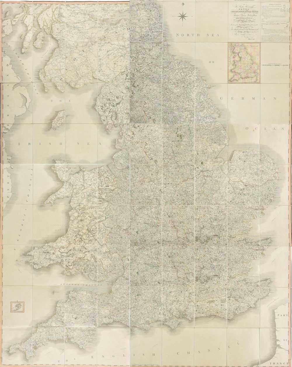
Title: Cary's New map of England and Wales, With Part of Scotland. On which are carefully laid down all the direct and principal cross roads, the course of the rivers and teh navigable canals, cities, market and burough towns, parishes, and most considerable hamlets, parks, forests, &c, &c.. Author: Cary, J. Place: London Publisher: J. Cary Date: 1794 Description: 81 sheets comprising 77 maps hand-colored in outline, title sheet, dedication, hand-colored general map, and explanation sheet (complete). Index and list of subscribers at rear. (4to) 32x24 cm. (12½x9½") early half calf and cloth. First Edition, Book Form. The general map of England and Wales is the first map to use the meridian of Greenwich instead of London. The map was also issued as a very large 6 part folding map. Scarce. Lot Amendments Condition: Extremities rubbed, spine ends chipped; light foxing; very good. Item number: 229553
Title: Cary's New map of England and Wales, With Part of Scotland. On which are carefully laid down all the direct and principal cross roads, the course of the rivers and teh navigable canals, cities, market and burough towns, parishes, and most considerable hamlets, parks, forests, &c, &c.. Author: Cary, J. Place: London Publisher: J. Cary Date: 1794 Description: 81 sheets comprising 77 maps hand-colored in outline, title sheet, dedication, hand-colored general map, and explanation sheet (complete). Index and list of subscribers at rear. (4to) 32x24 cm. (12½x9½") early half calf and cloth. First Edition, Book Form. The general map of England and Wales is the first map to use the meridian of Greenwich instead of London. The map was also issued as a very large 6 part folding map. Scarce. Lot Amendments Condition: Extremities rubbed, spine ends chipped; light foxing; very good. Item number: 229553


Testen Sie LotSearch und seine Premium-Features 7 Tage - ohne Kosten!
Lassen Sie sich automatisch über neue Objekte in kommenden Auktionen benachrichtigen.
Suchauftrag anlegen