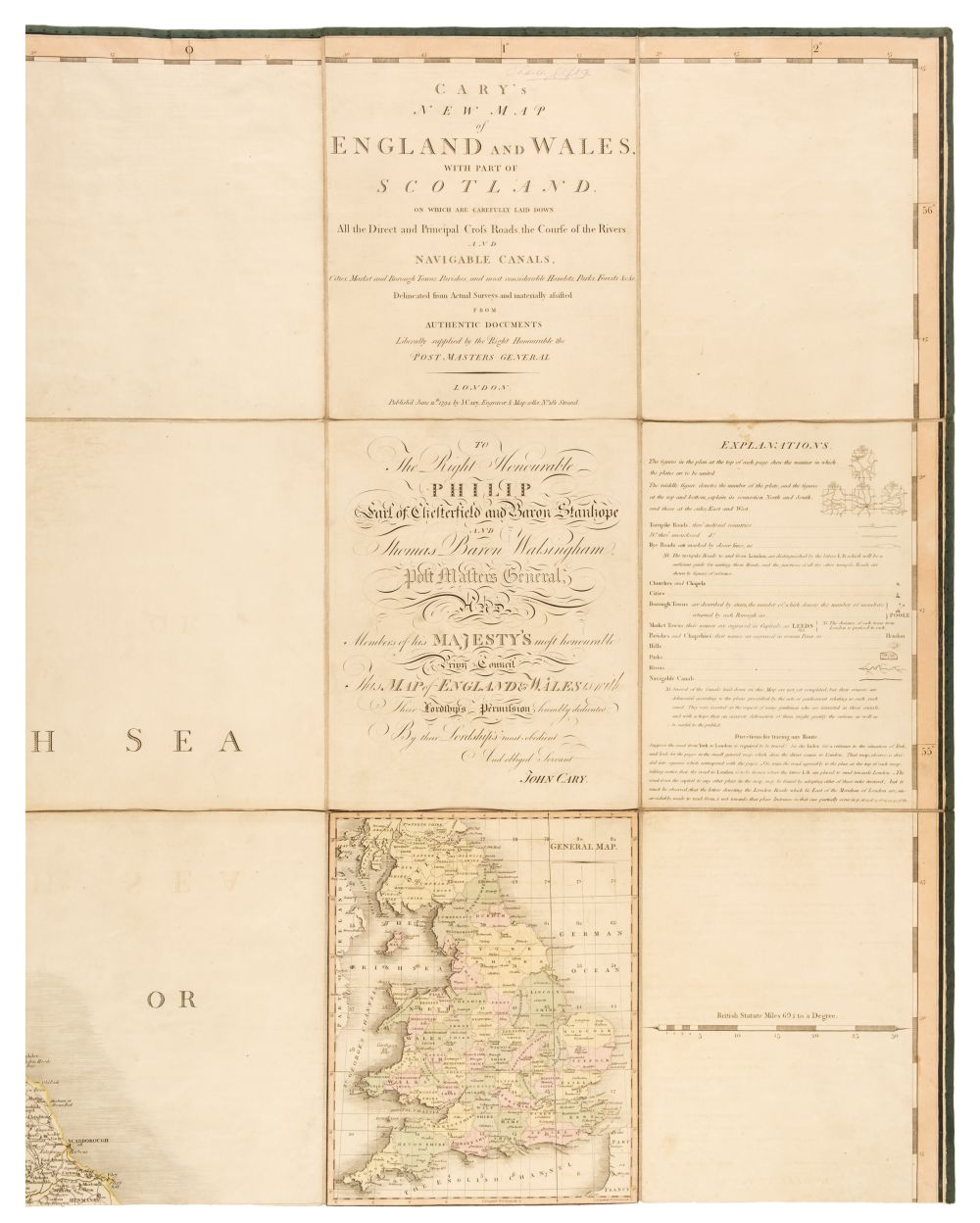
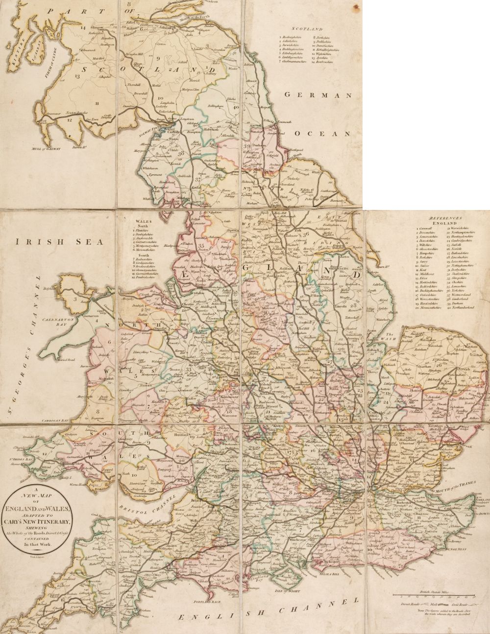
England & Wales. Cary (John), Cary's New Map of England and Wales with Part of Scotland, on which are carefully laid down all the Direct and Principal Cross Roads, the Course of the Rivers and the Navigable Canals, Cities, Market and Borough Towns, Parishes and most considerable Hamlets, Parks, Forests &c &c, 1st edition, 1794, engraved map with contemporary outline colouring, sectionalised and laid on three linen sheets, each sheet with the label of William Faden ' Geographer to His Majesty' to verso, calligraphic title and dedication, inset maps of England and Wales and the Scilly Isles, very slight offsetting and occasional spotting, overall size approx. 1800 x 2220 mm, contained in a contemporary marbled card slipcase, very slight wear to extremities (Qty: 1) This highly detailed map is usually seen in atlas form and very occasionally as a wall map.
England & Wales. Cary (John), Cary's New Map of England and Wales with Part of Scotland, on which are carefully laid down all the Direct and Principal Cross Roads, the Course of the Rivers and the Navigable Canals, Cities, Market and Borough Towns, Parishes and most considerable Hamlets, Parks, Forests &c &c, 1st edition, 1794, engraved map with contemporary outline colouring, sectionalised and laid on three linen sheets, each sheet with the label of William Faden ' Geographer to His Majesty' to verso, calligraphic title and dedication, inset maps of England and Wales and the Scilly Isles, very slight offsetting and occasional spotting, overall size approx. 1800 x 2220 mm, contained in a contemporary marbled card slipcase, very slight wear to extremities (Qty: 1) This highly detailed map is usually seen in atlas form and very occasionally as a wall map.







Testen Sie LotSearch und seine Premium-Features 7 Tage - ohne Kosten!
Lassen Sie sich automatisch über neue Objekte in kommenden Auktionen benachrichtigen.
Suchauftrag anlegen