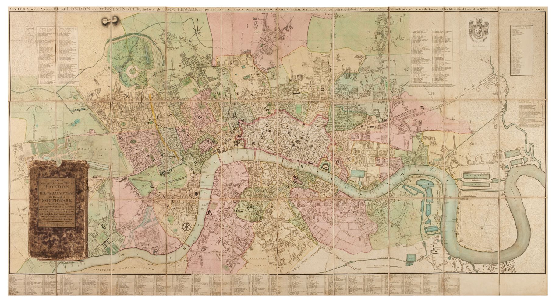
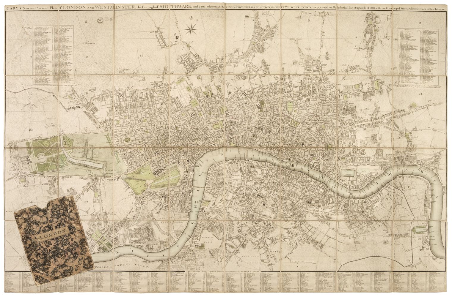
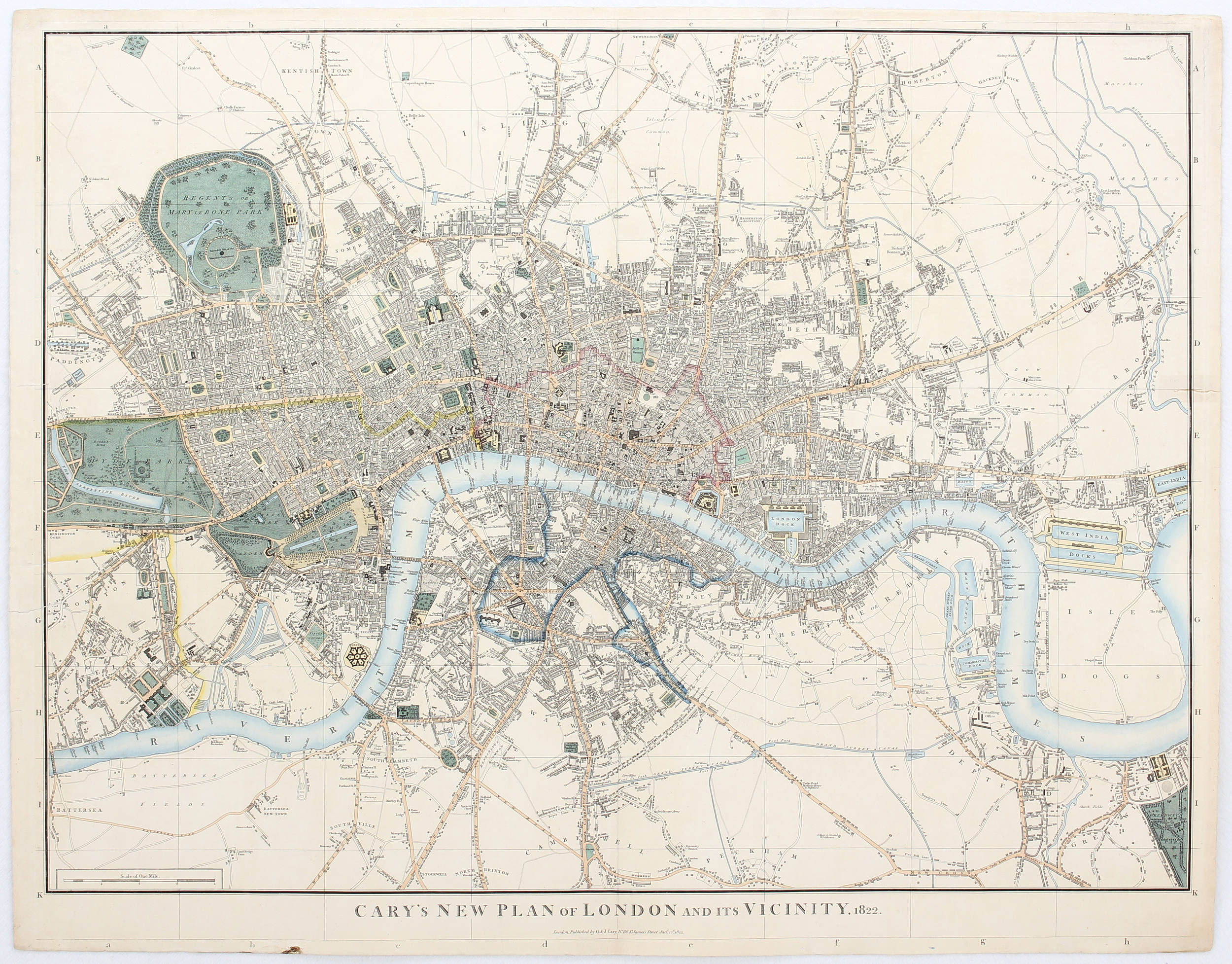
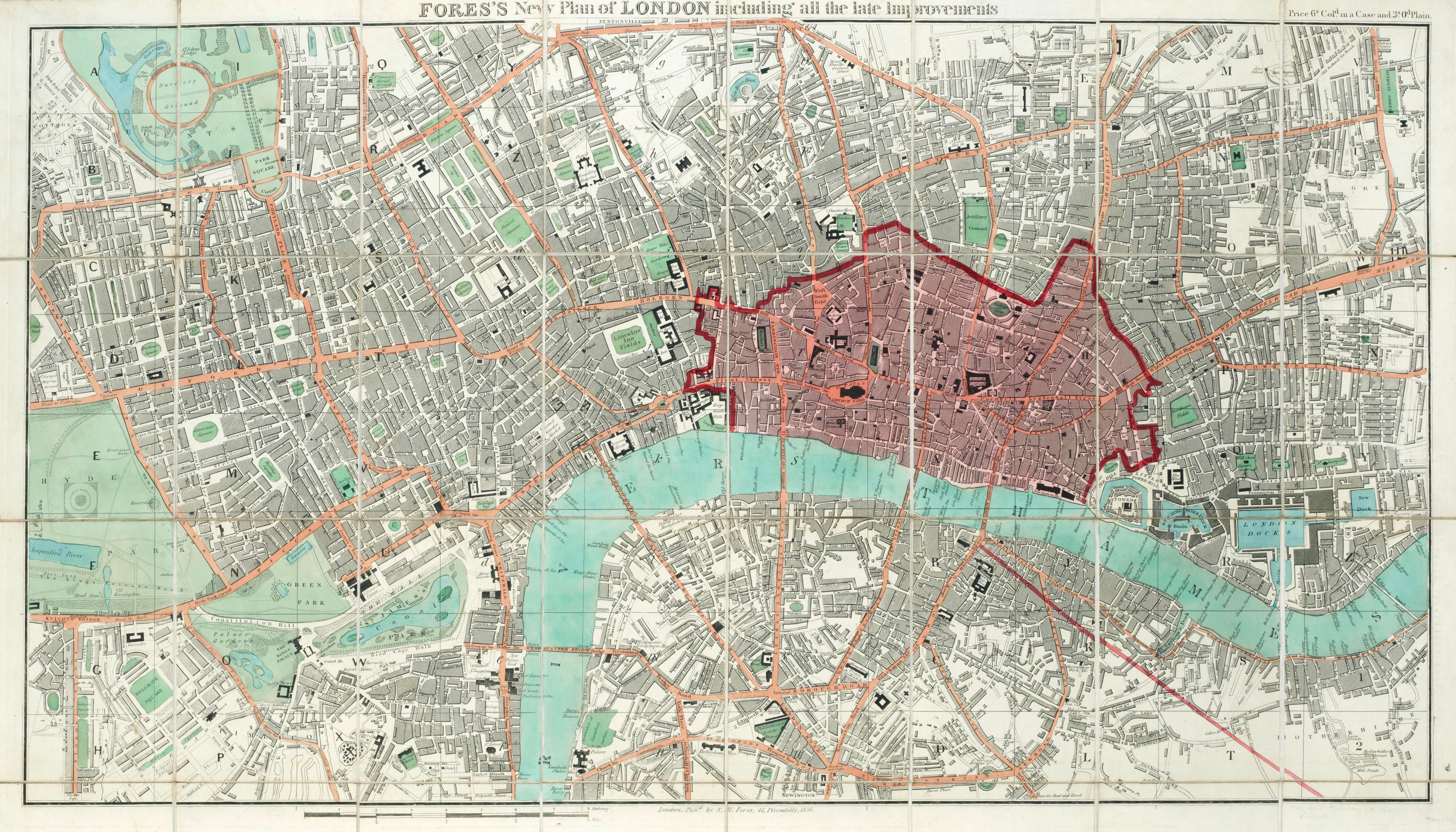
London. Cary (G. & J.), Cary's Map of the Country Twelve Miles round London, 1829, engraved map with contemporary outline colouring, sectionalised and laid on later linen, slight dust soiling to the margins, 575 x 695 mm, old library stamp to verso, bound in modern cloth gilt boards with ink library stamp to the front pastedown and a library blind stamp to the upper cover, together with Froggett (John Walter). Froggett's Survey of the Country Thirty Miles round London, G. F. Cruchley, circa 1840, engraved map with contemporary outline colouring, sectionalised and laid on linen, slight dust soiling to the margins, tartan endpapers, 1110 x 1360 mm, contained in a contemporary cloth slipcase with publisher's printed label to the upper cover, heavily worn and frayed, with Davies (B. R.). Davies's Map of the Environs of London, 1855, engraved map with contemporary outline colouring, sectionalised and laid on linen, very slight staining, marbled endpapers, 745 x 1070 mm, contained in a contemporary cloth slipcase with publisher's printed label to the upper cover, heavily worn and frayed, plus Cruchley (G. F.). Cruchley's Environs of London Extending Thirty Miles from the Metropolis, 1829, engraved map with contemporary outline colouring, sectionalised and laid on linen, the linen has split along the old folds and the map sheets are now separated, if conjoined, 920 x 920, contained in a contemporary marbled card slipcase with publisher's printed label to the upper cover, heavily worn and frayed, and Mogg (Edward). Mogg's Forty-Five Miles round London, June 1st. 1829, engraved map with contemporary outline colouring, sectionalised and laid on linen, slight staining, occasional splits along linen folds, old ink library stamp to lower margin, 970 x 1160 mm, contained in a contemporary marbled card slipcase, the slipcase is split and heavily worn and frayed (Quantity: 5) J. Howgego. The Printed Maps of London. The first described item, number 359a, is an earlier state than Howgego's first entry of 1837. The second item, number 333, is an indeterminate state between states 3 & 4. The third item falls outside the date span for Howgego. The fourth item number 299, state 5. The fifth item, number 297, indeterminate state between states 2 & 3.
London. Cary (G. & J.), Cary's Map of the Country Twelve Miles round London, 1829, engraved map with contemporary outline colouring, sectionalised and laid on later linen, slight dust soiling to the margins, 575 x 695 mm, old library stamp to verso, bound in modern cloth gilt boards with ink library stamp to the front pastedown and a library blind stamp to the upper cover, together with Froggett (John Walter). Froggett's Survey of the Country Thirty Miles round London, G. F. Cruchley, circa 1840, engraved map with contemporary outline colouring, sectionalised and laid on linen, slight dust soiling to the margins, tartan endpapers, 1110 x 1360 mm, contained in a contemporary cloth slipcase with publisher's printed label to the upper cover, heavily worn and frayed, with Davies (B. R.). Davies's Map of the Environs of London, 1855, engraved map with contemporary outline colouring, sectionalised and laid on linen, very slight staining, marbled endpapers, 745 x 1070 mm, contained in a contemporary cloth slipcase with publisher's printed label to the upper cover, heavily worn and frayed, plus Cruchley (G. F.). Cruchley's Environs of London Extending Thirty Miles from the Metropolis, 1829, engraved map with contemporary outline colouring, sectionalised and laid on linen, the linen has split along the old folds and the map sheets are now separated, if conjoined, 920 x 920, contained in a contemporary marbled card slipcase with publisher's printed label to the upper cover, heavily worn and frayed, and Mogg (Edward). Mogg's Forty-Five Miles round London, June 1st. 1829, engraved map with contemporary outline colouring, sectionalised and laid on linen, slight staining, occasional splits along linen folds, old ink library stamp to lower margin, 970 x 1160 mm, contained in a contemporary marbled card slipcase, the slipcase is split and heavily worn and frayed (Quantity: 5) J. Howgego. The Printed Maps of London. The first described item, number 359a, is an earlier state than Howgego's first entry of 1837. The second item, number 333, is an indeterminate state between states 3 & 4. The third item falls outside the date span for Howgego. The fourth item number 299, state 5. The fifth item, number 297, indeterminate state between states 2 & 3.


Testen Sie LotSearch und seine Premium-Features 7 Tage - ohne Kosten!
Lassen Sie sich automatisch über neue Objekte in kommenden Auktionen benachrichtigen.
Suchauftrag anlegen