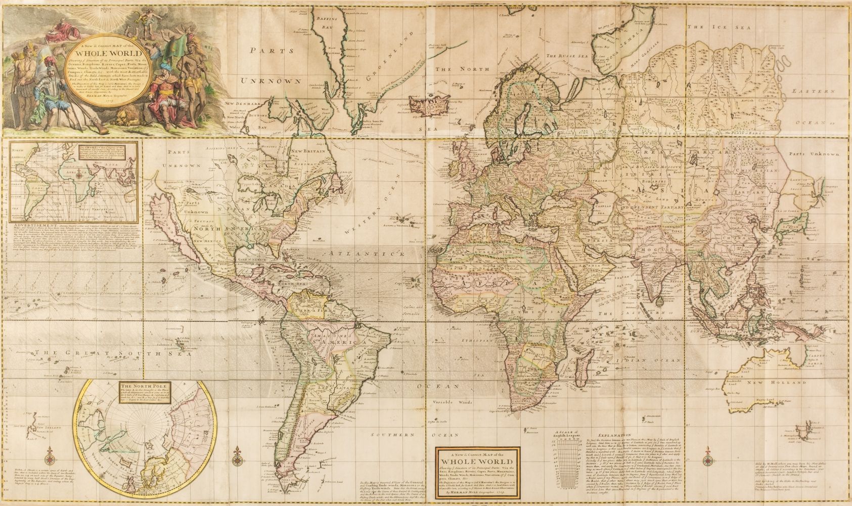
MOLL, Herman (1654-1732). A New and Exact Map of the Dominions of the King of Great Britain on y e Continent of North America. Containing Newfoundland, New Scotland, New England, New York, New Jersey, Pensilvania, Maryland, Virginia and Carolina. According to the Newest and most exact observations by Herman Moll Geographer . London: Printed and sold by Thos: Lowndes next y e Chapter House in St. Pauls Church-yard, John Bowles at the Black Horse in Cornhill, and by I. King at y e Globe in y e Poultrey near Stocks Market, 1715.
MOLL, Herman (1654-1732). A New and Exact Map of the Dominions of the King of Great Britain on y e Continent of North America. Containing Newfoundland, New Scotland, New England, New York, New Jersey, Pensilvania, Maryland, Virginia and Carolina. According to the Newest and most exact observations by Herman Moll Geographer . London: Printed and sold by Thos: Lowndes next y e Chapter House in St. Pauls Church-yard, John Bowles at the Black Horse in Cornhill, and by I. King at y e Globe in y e Poultrey near Stocks Market, 1715. 2 sheets joined (1,007 by 637mm). Engraved map, elaborate cartouche in lower center (dedicating map to "the Honourable William Dowglass, Constituted Captain General of all y e Leeward Islands in America by Queen Anne"); five inset maps or scenes added in lower portion, including "A Map of the Improved Part of Carolina" (310 x 265mm), "A Map of the Principal Part of North America" (142 x 120mm), "A View of y e Industry of Beavers in Canada" (230 x 235mm), "A Draught of y e Town and Harbour of Charles-Town" (with key, 120 x 120mm), and a map of Louisiana and East Florida (180 x 155mm); light outline color of boundaries. (Folds reinforced with old paper from the back, minor marginal tears, minor loss at fold in upper left-hand margin, scattered browning and spotting. Cumming 158; Kershaw II: 331, State B of imprint; McCorkle 715.1; Schwartz & Ehrenberg, plate 78. Moll's most celebrated effort as a cartographer; his most accurate map and distinctive for the large, inset scene of a swarm of industrious beavers at work, against a dramatic backdrop of Niagara Falls (a depiction borrowed from the view in Louis Hennepin's Nouvelle Decouverte de un tres grand pays situe dans l'Amerique , 1697). In this map, Moll made a particular effort to identify and locate Indian settlement and tribal lands, as well as remote frontier geographic features of the largely unexplored western part of the continent.

.jpg)


Testen Sie LotSearch und seine Premium-Features 7 Tage - ohne Kosten!
Lassen Sie sich automatisch über neue Objekte in kommenden Auktionen benachrichtigen.
Suchauftrag anlegen