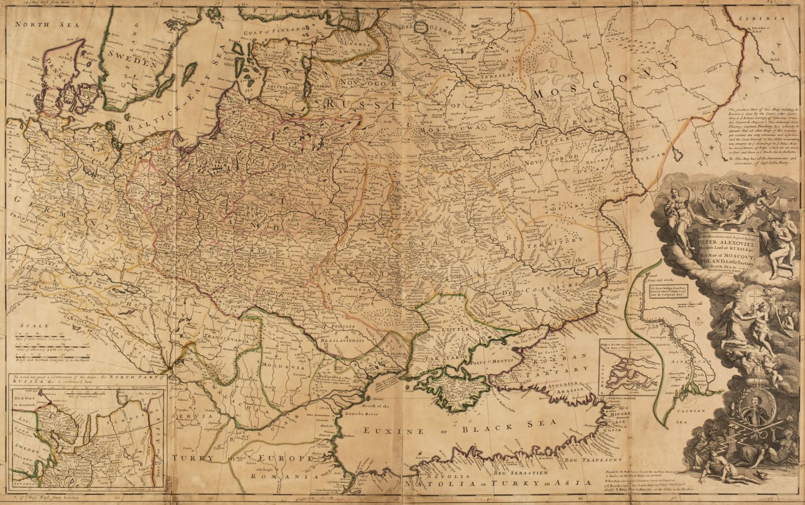
MOLL, Herman. A Map of the West Indies or the Islands of America in the North Sea . [London]: Printed for Tho. Bowles in St. Paul's Church yard and John Bowles at the Black Horse in Cornhill, [ca 1730].
MOLL, Herman. A Map of the West Indies or the Islands of America in the North Sea . [London]: Printed for Tho. Bowles in St. Paul's Church yard and John Bowles at the Black Horse in Cornhill, [ca 1730]. Engraved map, on two joined sheets, 597 x 1015 mm, hand-colored in outline, dedication to "Wil. Paterson Esq" in elaborate cartouche lower left, with a vignette of "The City of Mexico in New Spain" in lower left corner, and small vignettes of "La Vera Cruz," "Bay & Citty of Havana," "Bay of Porto Bella," "A Draught of St. Augustin & its Harbour," "A Draught of ye Citty of Cartegena its Harbour & Ports" upper right. (Vertical folds discreetly repaired at foot.) Matted. Provenance : Contemporary inscription on verso. From A Catalogue of a New and Complete set of Twenty-five Two-Sheet Maps first published 1710-1715 and then re-issued ca 1730 with 30 maps. Phillips Atlases 554 10; Tooley Maps and Map-makers p. 113.


.jpg)


.jpg)
.jpg)
Testen Sie LotSearch und seine Premium-Features 7 Tage - ohne Kosten!
Lassen Sie sich automatisch über neue Objekte in kommenden Auktionen benachrichtigen.
Suchauftrag anlegen