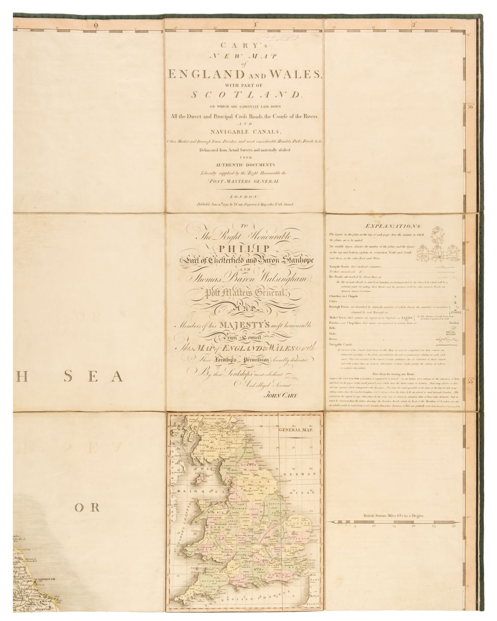
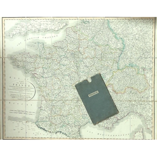
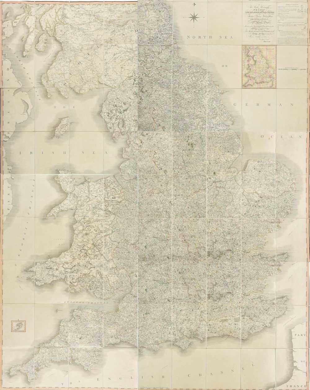
Cary (John) A New Map of England engraved map in full original hand-colouring, 600 x 520mm., central horizontal fold, slight spotting and surface dirt, 1809; attached by binding strip to the engraved title to Cary's New English Atlas, with a later George Philip & Son map of England and Wales, laid on versos in between; also with Cary's county maps of Wiltshire and Hampshire; and a geological map of the British Isles, 1939(5)
Cary (John) A New Map of England engraved map in full original hand-colouring, 600 x 520mm., central horizontal fold, slight spotting and surface dirt, 1809; attached by binding strip to the engraved title to Cary's New English Atlas, with a later George Philip & Son map of England and Wales, laid on versos in between; also with Cary's county maps of Wiltshire and Hampshire; and a geological map of the British Isles, 1939(5)


Testen Sie LotSearch und seine Premium-Features 7 Tage - ohne Kosten!
Lassen Sie sich automatisch über neue Objekte in kommenden Auktionen benachrichtigen.
Suchauftrag anlegen